
 Weather
  Webcams
  Attractions
  Gastronomy
  Tours
Tours  Events
 Piz Nair - Jenatsch Hut - Bever
Difficult
24.1 km
7:25 h
598 mhd
1906 mhd
Show all 8 images
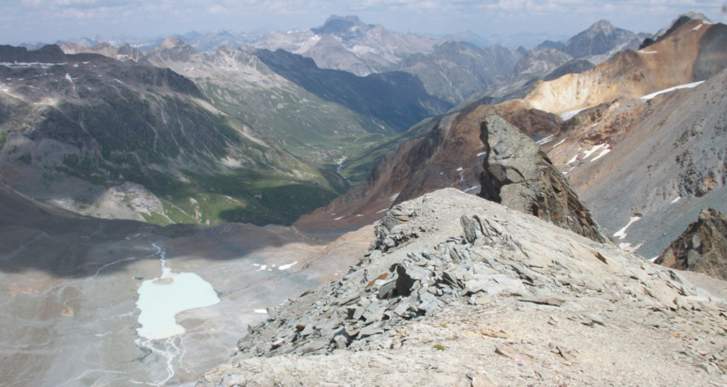
A long hike through a geologically interesting area.
Best Season
Jan
Feb
Mär
Apr
Mai
Jun
Jul
Aug
Sep
Okt
Nov
Dez
Start
Piz Nair, Mountain Station
Destination
Bever
Coordinates
46.505527, 9.787374
Details
Description
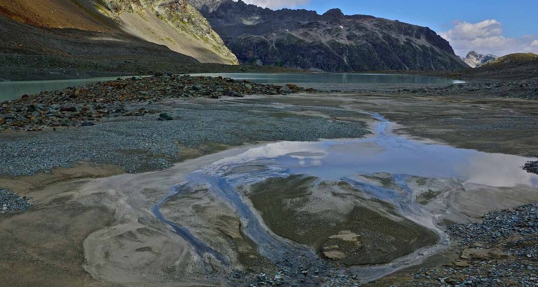
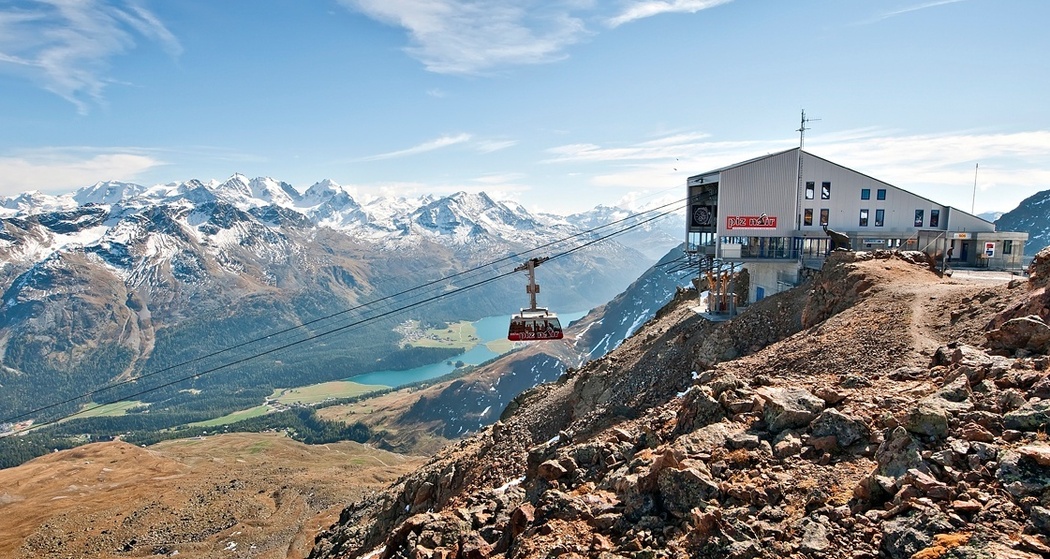
You can easily reach Piz Nair, St. Moritz’s local mountain, via the Chantarella/Corviglia funicular and the Piz Nair cable car. Before descending on the hiking trail to Lej Suvretta, it’s worth taking a moment to enjoy the magnificent view over the Upper Engadine lake district. From Lej Suvretta, the route follows the red trail markers along the opposite slope, climbing steeply over rocky steps to Fuorcla Suvretta, where you’ll be greeted by a large cairn and a breathtaking view. Crossing moraine debris and grassy slopes, you’ll reach the Traunter Ovas basin. After crossing the north face of Piz Traunter Ovas, you’ll cross the glacial stream of Vadret d’Agnel and, after a short climb in a sweeping arc, reach the Chamanna Jenatsch, the highest SAC hut in Graubünden. Here, you can enjoy a well-deserved break and recharge your energy with delicious, hearty meals to prepare for the long descent. Refreshed, you’ll first hike through sparse vegetation along the rushing Beverin River to the Tegia d’Val and from there, for quite some time, through lush, flower-filled alpine meadows and sparse Swiss stone pine and larch forests to Spinas. Now you can take a leisurely stroll out of the valley to Bever.
Further information
Engadin Tourism AG
Via Maistra 1
CH-7500 St. Moritz
Phone: +41 81 830 00 01
Email: allegra@engadin.ch
Website: www.engadin.ch
Further information
Engadin Tourism AG
Via Maistra 1
CH-7500 St. Moritz
Phone: +41 81 830 00 01
Email: allegra@engadin.ch
Website: www.engadin.ch
Hidden Gem
The hike can also be completed in two days—with an overnight stay at the Jenatsch Hut
Directions
Piz Nair - Lej Suvretta - Fuorcla Suvretta - Chamanna Jenatsch - Tegia d'Val - Spinas - Bever
Directions
Public Transport
With the Engadin Bus to bus stop St. Moritz, Schulhausplatz


Responsible for this content: Engadin Tourismus AG.

This website uses technology and content from the Outdooractive platform.