Quer durch Davos
Show all 10 images
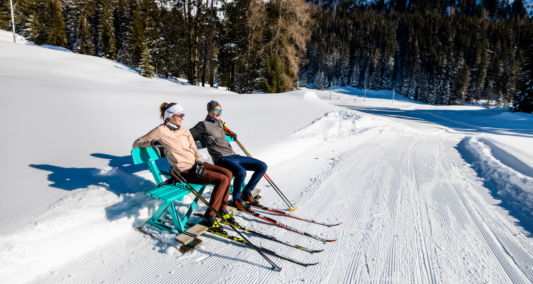
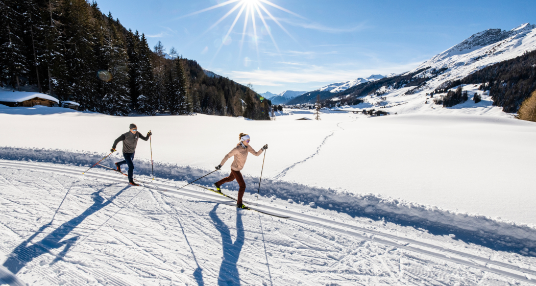
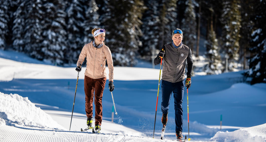
For connoisseurs, there is the opportunity to glide across Davos. Through forests, next to Lake Davos, past the cross-country skiing centre and along the Landwasser.
Details
Description
Getting started with Wolfgang is very easy to get started. The trail leads through the snow-covered forest down to Lake Davos. After small climbs, the trail continues downhill to the Stilli. The City Trail continues in a relaxed manner. On the flat terrain, you walk through Davos once. But don't worry, the open fields always offer beautiful views. The Dario Cologna cross-country skiing centre comes into view. By the way, here on the sun terrace you can enjoy the world's first Après Nordic. The Herzloipe continues to the well-known Bolgen area and immediately afterwards the trail stretches away from the hustle and bustle of the Landwasser to Frauenkirch.
Hidden Gem
Be sure to try Après Nordic at the cross-country skiing centre.
Directions
Public Transport
Take the train to Landquart, then take the Rhaetian Railway (RhB) to Davos Wolfgang.
For the way back, you can get back on the RhB directly at Davos Frauenkirch.
Travel Information
By car to Davos
- Route 28 Landquart - Davos Wolfgang
- Landwasserstrasse Thusis - Davos Wolfgang
Parking
Public parking/multi-storey car parks in Davos
Responsible for this content: Destination Davos Klosters.
This content has been translated automatically.

This website uses technology and content from the Outdooractive platform.
