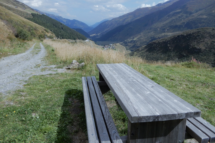
Rheinquelle Trail
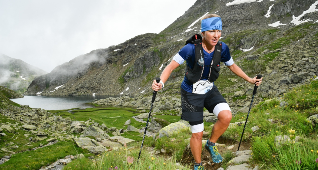
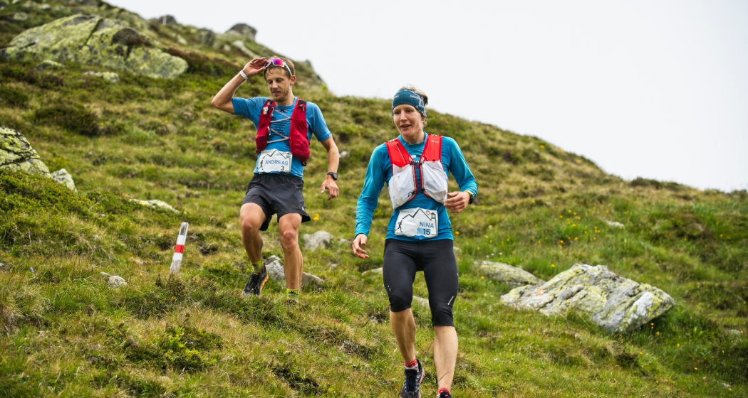
Show all 7 images
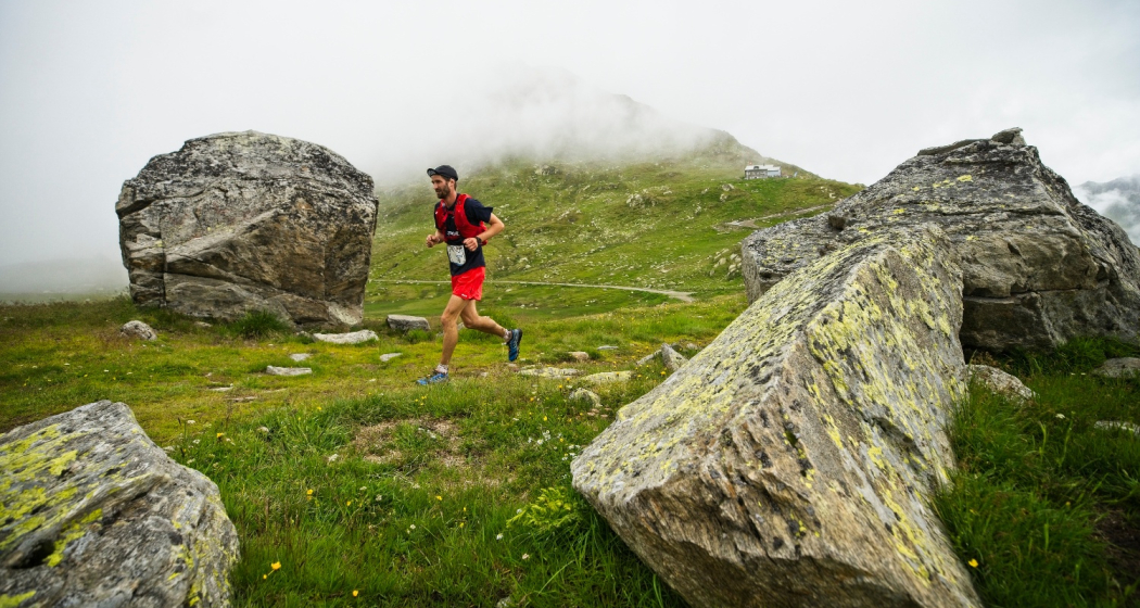
Mountain run - challenge over three peaks and past Lake Toma, the source of the Rhine.
Details
Description
On more than 40 kilometers and about 3000 meters of altitude you push your limits - to the source of the Rhine.
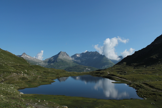
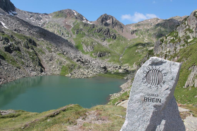
From Sedrun, high above the NEAT base tunnel, the route leads along narrow paths first to the ridge of the Tgom, followed by the ultimate and partly pathless challenge on the Piz Cavradi. After a stop for a drink at the Maighelshütte, two more highlights follow. Lake Toma, the source of the Rhine that gave the run its name, and Piz Pazzola as the highest point of the run.
Those who like it shorter return to the start after the descent from the Tgom. That adds up to 16 kilometers and 1125 meters of elevation gain!
Take part in the Rheinquelle Trail Event, which is held every year in July.
www.rheinquelle-trail.ch
Directions
The trail is not signposted and leads in the area of Cavradi over unsignposted hiking trails
Directions
Public Transport
Travel Information
Parking
Parking spaces at the sports field in Sedrun.
Responsible for this content: Sedrun Disentis Tourism SA.
This content has been translated automatically.

This website uses technology and content from the Outdooractive platform.
