Säumerweg Avers 3. Etappe: Innerferrera - Juppa
Show all 6 images
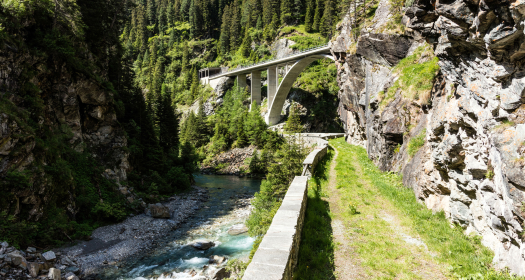
The third stage of the Avers mule track follows the historic Avers road from Innerferrera to Juppa. Along the way, impressive bridges, steep gorges, historic Walser houses and quiet alpine landscapes await you - a varied hike through history, geology and culture.
Details
Description
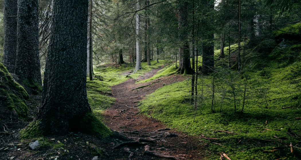
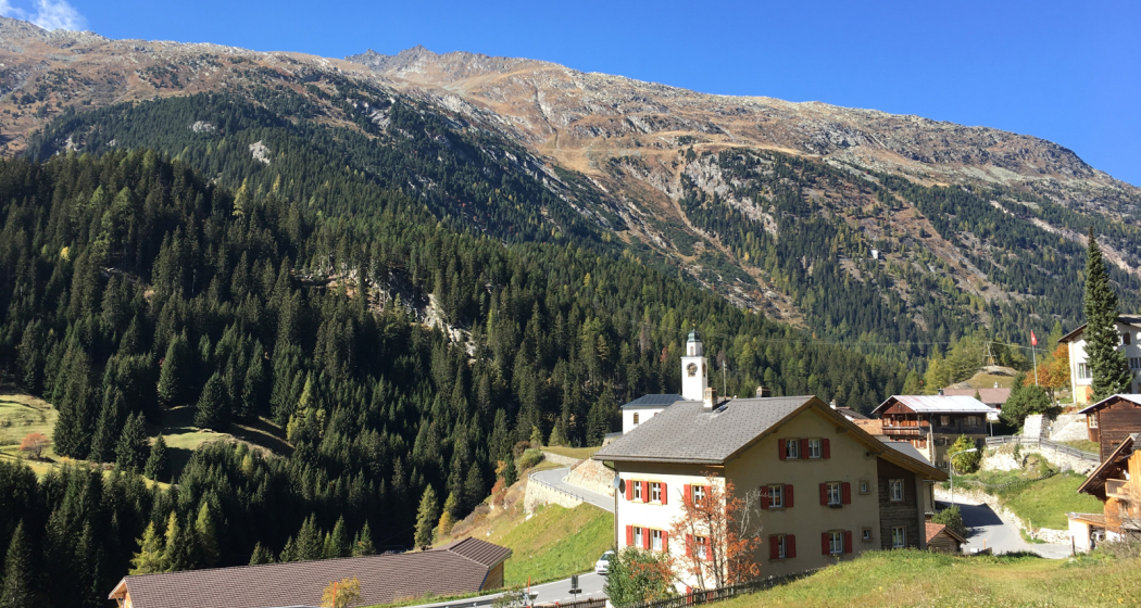
This stage follows the old Averserstrasse, a historic traffic route with spectacular views, masterful masonry and exciting history. Right at the beginning, the view opens up to the gorge of the Ragn da Ferrera, later the path leads through a rock tunnel and along impressive steep walls. Highlights along the way are the retaining walls and natural stone bridges from the 19th century, such as the Starlera Bridge or the stone footbridge near Cröt, as well as geological features such as sinter formation at a warm spring near Starlera. The stage leads through alpine meadows, past small hamlets with old Walser houses, for example in Cresta, where the valley church with frescoes and a historic organ is also located. The trail ends in Juppa embedded in a quiet, high alpine landscape with marmots, dry stone walls and magnificent peaks in the background.
Hidden Gem
- Valley church in Cresta
- Marmot nature trail in Juppa
Safety Note
Surefootedness and a head for heights required.
Equipment
Appropriate, weather-appropriate equipment is strongly recommended.
Directions
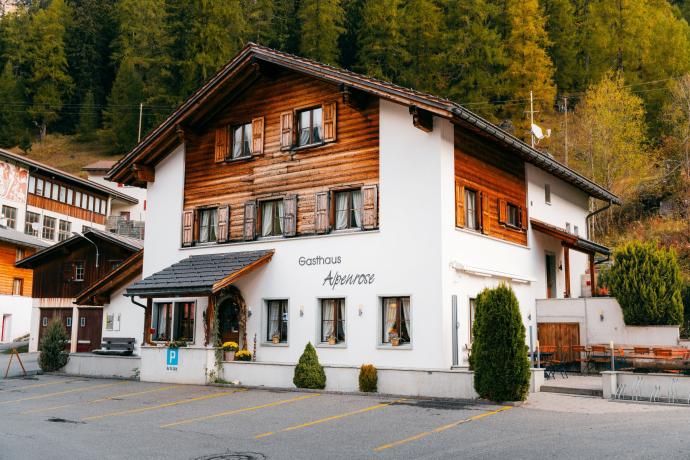
The hike begins in the village of Innerferrera (1481 m) at the post bus stop opposite the Alpenrose. Follow the road down to the Ragn da Ferrera, cross it over the new bridge and stay on the old Averserstrasse. After about 250 m, you cross a short tunnel and follow the partly narrow path above the river. At Val digl Uors, the path turns and runs below the cantonal road to the tunnel portal at P. 1572. From here follows a spectacular section of the old, partially secured Averserstrasse with bridges, retaining walls and narrow hairpin bends. You pass the Starlera mountain pastures, cross the new Starlera bridge and reach the Valle-di-Lei bridge. Then the path climbs through steep terrain to the cantonal road. Via Campsut and Cröt (1715 m), the path leads over old mule tracks and natural stone bridges, past historic buildings, towards Cresta (just under 2000 m). From there you continue via Pürt and Am Bach, cross the river again and then follow the high trail towards Juppa.
Directions
Public Transport
Innerferrera can be reached by PostBus. Further information can be found in the SBB online timetable.
Travel Information
From the A13 motorway, take exit 26 "Avers-Juf/Ferrera", then turn left towards "Rofla". Then follow the main road to Innerferrera. Plan your journey to Innerferrera with the Google route planner.
Parking
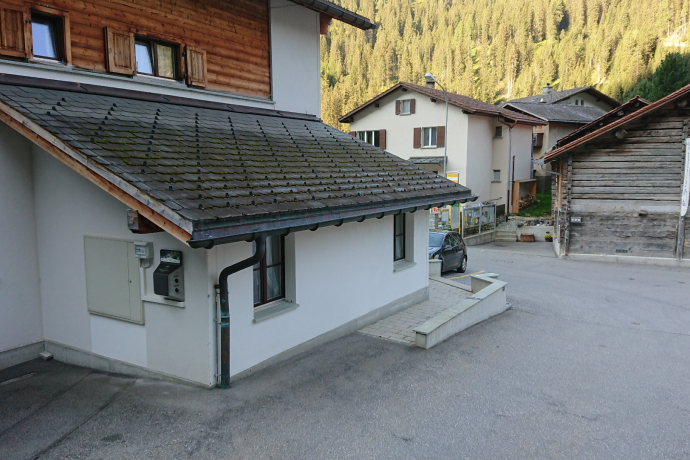
Please use public, free parking spaces at the depot (Google Maps).
Responsible for this content: Viamala Tourism.
This content has been translated automatically.

This website uses technology and content from the Outdooractive platform.
