Segnas - Bostg Summit Tour


Show all 9 images

On snowshoes to the Bostg mountain lookout
Details
Description
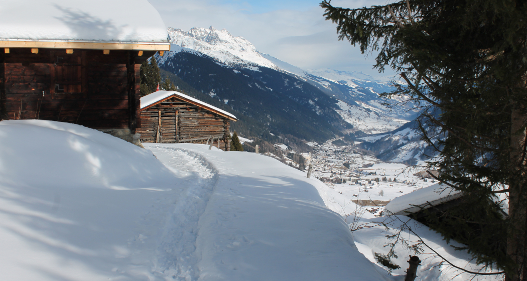
We start our tour in Segnas above the village and at the beginning skiers come towards us every now and then, because Val Segnas is a popular valley run. But then it's just us on the road as we climb steadily up a snow-covered forest road to the Maiensässen of Run Cunel. A look into the valley tells us that we have already climbed a few meters in altitude.
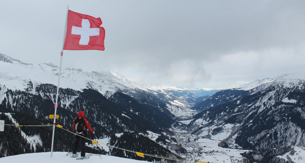
But the more strenuous part is yet to come. We climb on a hiking trail to the Maiensäss Barschaus, a good opportunity to take a break before tackling the last part. After the forest we soon see our destination and we are happy that someone has laid a trail ahead of us. When we reach the Swiss flag, we are greeted by a fantastic panorama and we watch as the freeriders from the ski area opposite make their tracks on the slopes of Val Segnas. We stay here, even if it's not directly at the summit, because further up there is a wildlife sanctuary!
The valley hike on our ascent route is relaxing and we have time to take a longer look around.
Hidden Gem
We can also go down to Run Cunel via the Prau Sura to Mompe Tujetsch and cover the last part of the trail to Segnas along a winter hiking trail.
Safety Note
There is generally no risk of avalanches on the tour. After heavy snowfall, however, we recommend reading the avalanche bulletin and never leaving the designated route. The route is marked, but people who are not familiar with the area should print out the topographical map of the tour and take it along.
Equipment
Safety gear is necessary (avalanche transceiver, probe, shovel)
Directions
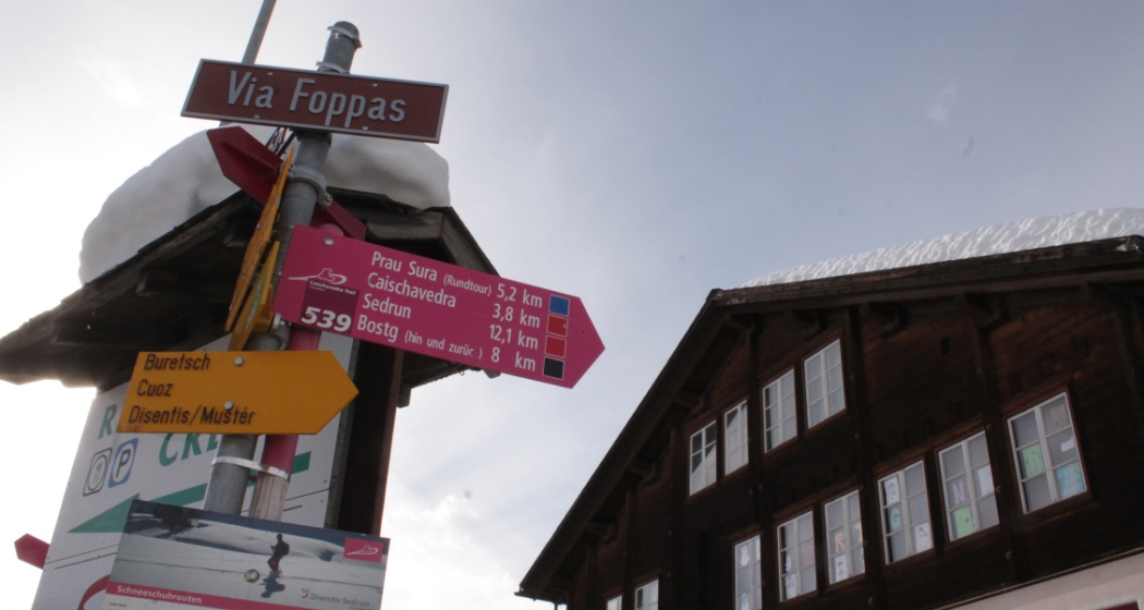
From the starting point in Segnas we follow the signs to the Val Segnas where we turn left onto a forest path. At the altitude of Run Cunel the signpost points us to a hiking trail to Barschaus and then over open terrain up to the summit.
Directions
Public Transport
Travel Information
Parking
Responsible for this content: Sedrun Disentis Tourism SA.
This content has been translated automatically.

This website uses technology and content from the Outdooractive platform.
