Vom Avers über den Septimerpass nach Casaccia


Show all 11 images

3 passes, 3 languages and the triple watershed open up versatile hiking opportunities and nature and cultural experiences in a confined space.
Details
Description
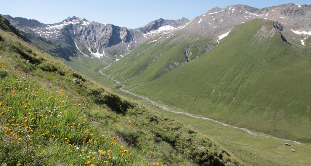
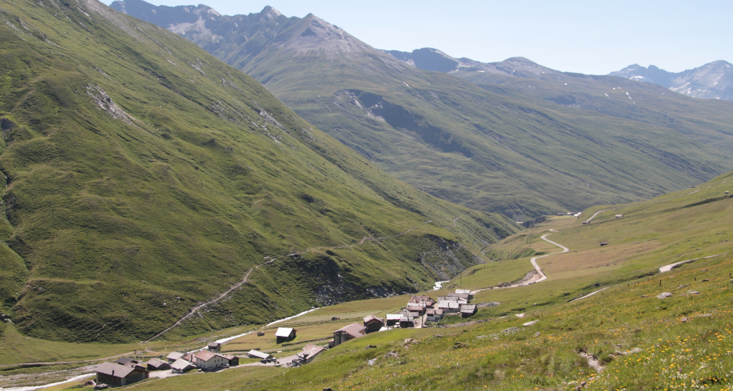
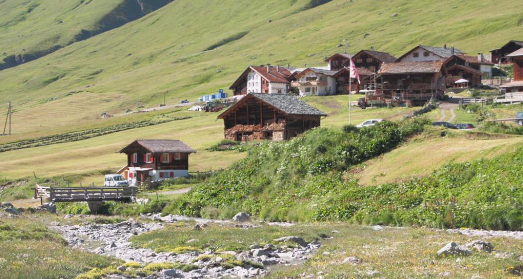
The hike starts in Avers-Juf. The ascent to Forcellina (2,672 m) leads from Avers-Juf southeastwards through the willow slopes. At the top of the pass, the view opens up to the south to the Engadine and Bregaglia mountains. The descent leads past the Leg da Sett to the Septimer Pass (2,310 m), from where you can descend to Casaccia in Bregaglia.
In the Middle Ages, from about the 11th century, the Septimer was considered one of the most important Alpine crossings. The reasons for this were geographical-topographical (direct north-south axis) on the one hand, and political ones on the other. Through generous imperial donations, the Bishop of Chur had come into possession of the territories along the Obere Strasse. This position of power allowed him to direct transit traffic onto "his" road. At the latest the expansion of the Julierstrasse 1820-1826 meant the end of the Septimer as a transit pass. However, it was important for the Bivio – Avers – Bergell region until the 19th century and partly until the middle of the 20th century.
Geheimtipp
A little refreshment in the Alpenrose inn or in the Edelweiss guesthouse in Avers-Juf before the hike.
Ausrüstung
Hiking equipment and weatherproof clothing.
Directions
Avers-Juf - Forcellina - Septimerpass - Casaccia
Directions
Public Transport
The villages of Avers-Juf and Casaccia can be reached by PostBus. Further information and timetable information can be found at www.sbb.ch.
Anreise Information
Avers-Juf
On the A13, take the Avers-Roffla exit. Then 28 kilometres through the Ferrera Valley to the Avers high valley. Plan your journey with the Google route planner.
Casaccia
Casaccia is located at the foot of the two passes Maloja and Septimer. Plan your journey with the Google route planner.
Parking
Parking in Avers-Juf.
Responsible for this content: Viamala Tourism.
This content has been translated automatically.

This website uses technology and content from the Outdooractive platform.


