Snowshoe trail Oberer Segnesboden (no. 547)
Show all 3 images
Details
Description
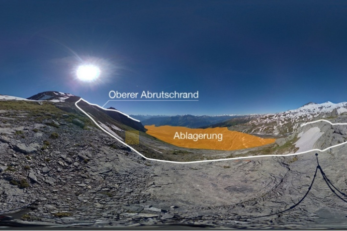
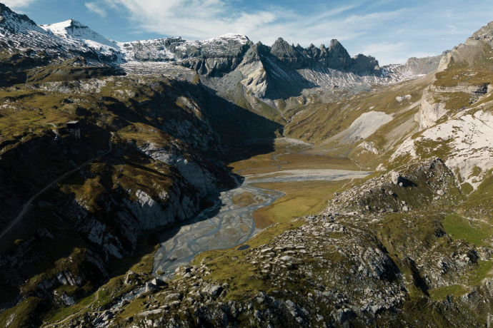
The upper Segnesboden, at an elevation of around 2,300 metres, is surrounded by striking three-thousand-metre peaks. This high-alpine plateau, shaped long ago by glaciers, is part of the UNESCO World Heritage Site Tectonic Arena Sardona. It offers not only a breathtaking panorama but also a fascinating glimpse into the Earth’s history: when the European and African continents collided, rock layers up to 300 million years old were thrust over much younger ones. Nowhere else is this overthrust fault line as clearly visible as here.
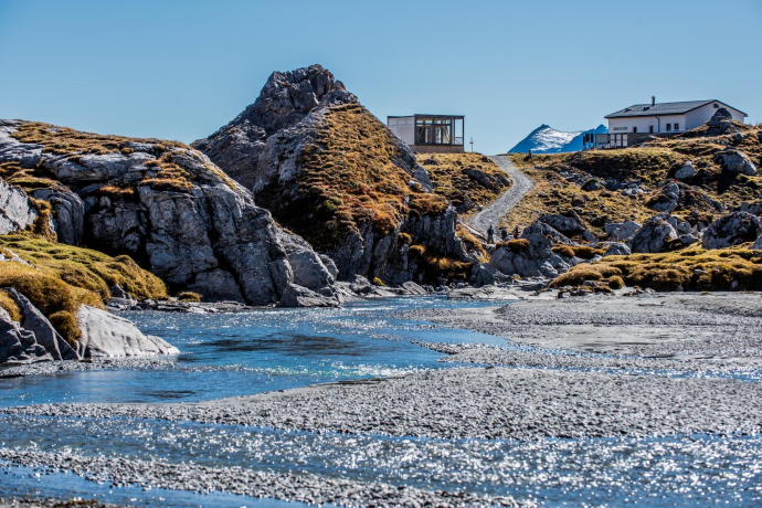
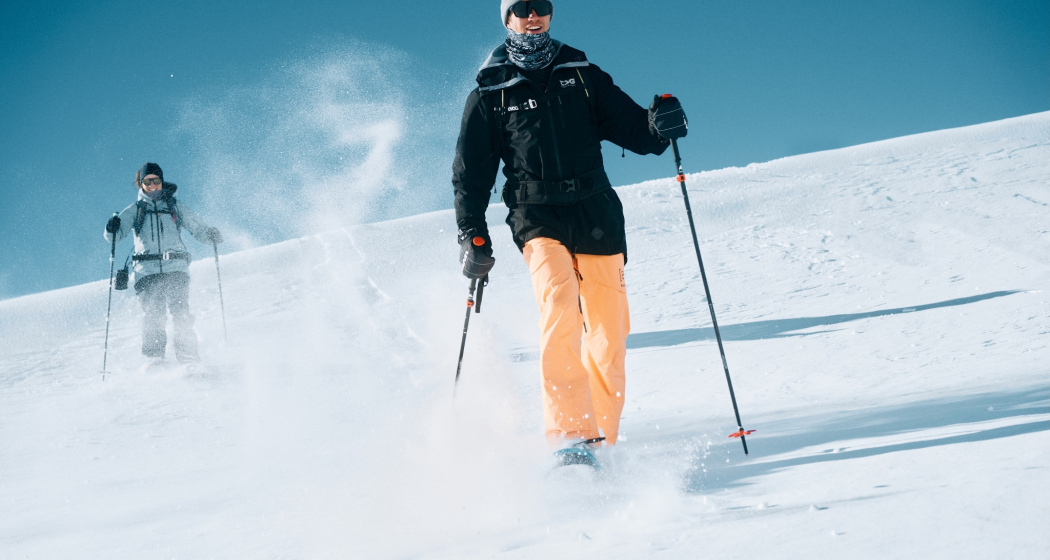
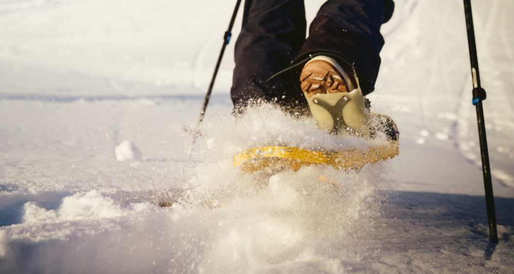
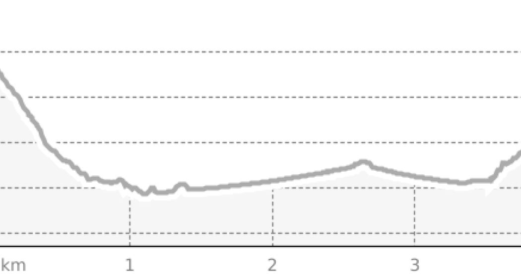
The signed trail begins at the Cassons mountain station (2,500 m), easily reached from Flims by the modern 10-seat gondolas of the FlemX. Gently descending northwards, the snowshoe trail first leads you into a natural arena of rock and snow formed by Piz Segnes, Piz Sardona and Piz Dolf. At the northern end of the upper Segnesboden, the route loops back along the opposite side of the plateau towards the south. With every step, more peaks of the endless Grisons mountain panorama come into view. Just before the trail ascends again towards the mountain station, you can look far down to Flims and the turquoise Lake Cauma, as well as the Segnes hut and station below. Back at Cassons, the cable car takes you comfortably down to the valley – or, if you wish, you can stop at one of the mid-stations to enjoy a fine meal at one of the mountain restaurants.
Directions
Directions
Public Transport
Travel Information
Parking
Responsible for this content: Flims Laax Falera Management Ltd..

This website uses technology and content from the Outdooractive platform.
