Strätscherhorn in the Safiental
Show all 6 images
Details
Description
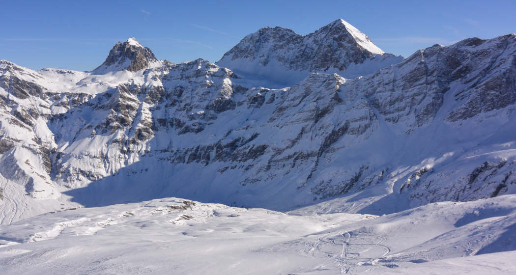
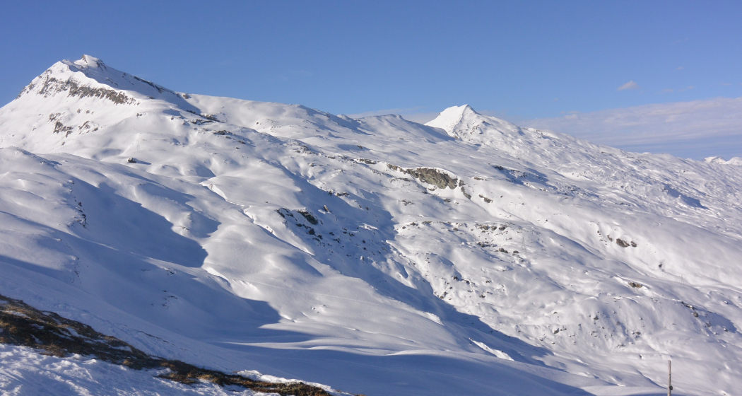
The descent follows the often windblown, wide slope towards the east. With a bit of luck, you might find a few sheltered gullies filled with powder. At around 2300 meters above sea level, you leave the ridge and descend into the often powdery northeast-facing slopes. It’s important to pay attention to the wildlife protection zones in the lower part of the descent. There is only one narrow passage, which you must catch. After reaching the compensation basin, you return to the valley floor, first following the winter hiking trail and then the valley road back to Turrahus.
Hidden Gem
Safety Note
Ski and snowshoe tours in unsecured terrain require good knowledge of avalanche danger assessment and tour planning. Furthermore, a complete safety upgrade must always be carried - regardless of the current avalanche danger.
We recommend the WhiteRisk app and website to prepare and plan the tour.
For carefree enjoyment, we recommend our mountain guides and snowshoe hiking guides of the Surselva.
Equipment
Directions
Directions
Public Transport
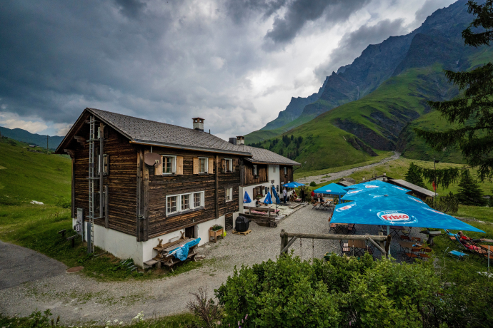
Take the train to the RhB station Versam-Safien. Continue by post bus to the terminus Thalkirch, Turrahus
Travel Information
Drive from Chur or Ilanz to Versam. Then turn into the Safiental valley and drive almost to the very end of the valley to Turrahus.
Winter equipment required.
Parking
To the right of the Turrahus there are some parking spaces.
Responsible for this content: Surselva Tourism.
This content has been translated automatically.

This website uses technology and content from the Outdooractive platform.

