
 Weather
  Webcams
  Attractions
  Gastronomy
  Tours
Tours  Events
 Sur En – Ramosch

Show all 5 images
Details
Description
Across the wooden bridge it goes over the Inn; with its 60.5 m it is today the longest still existing, drivable wooden bridge in Graubünden. A massive rock serves as an intermediate support and forms the reference point for the structure. Inside the bridge, one can admire the richly dimensioned beam work, as well as the plaques with inscriptions.
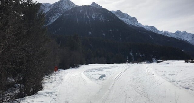
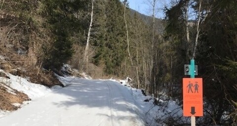
The path initially runs alongside the ski trail; upon reaching the beautiful clearing of Plan da Chomps it continues on a separate path uphill to Plan da Muglin. Before reaching Plan da Muglin, it goes down to the right in the forest towards the Inn; parallel to the trail, one crosses the Brancla to Sot Döss over the trail bridge. From Mils, the winter hiking path goes up to the village of Ramosch to the stop on the main road.
Safety Note
The path is prepared after every snowfall. Please observe the condition reports in the winter sports bulletin. The route was rated under favorable weather conditions; current snow and weather conditions must be checked before starting.
Caution:
The path runs along the cross-country ski trails – please do not enter the ski tracks.
Emergency numbers:
144 Emergency, First Aid
1414 Mountain Rescue REGA
112 International emergency number
Equipment
High and sturdy hiking boots or winter boots, warm clothing, sunscreen, sunglasses, sun protection, hiking poles.
Spikes are recommended. If there is little snow, the path quickly becomes icy.
Directions
- Cross the Inn via the wooden bridge
- Follow the hiking path on the left bank of the Inn
- In Ramosch, take the PostAuto back
Directions
Public Transport
- By the Rhaetian Railway (from Chur, Landquart/Prättigau or from the Upper Engadin) hourly to Scuol-Tarasp station
- By PostAuto (from Martina, Sent, Ftan or Tarasp) hourly to Scuol-Tarasp station
- By bus from Scuol-Tarasp station to the PostAuto stop Sent, Sur En
Travel Information
From the north: via Landquart – Klosters by car shuttle through the Vereina tunnel (Selfranga - Sagliains) or via the Flüela Pass to the Lower Engadin on H27
From the east: via Landeck / Austria towards St. Moritz on H27
From the south: via Reschen Pass (Nauders-Martina) or Ofen Pass (Val Müstair-Zernez) on H27
Sur En lies below Sent on the Inn, there is a junction down to Sur En from the Engadine road H27.
Parking
Paid parking spaces at the station in Scuol and at Camping Sur En.


Responsible for this content: Tourism Engadin Scuol Samnaun Val Müstair AG.

This website uses technology and content from the Outdooractive platform.