The original route of the Engadin Skimarathon
Difficult
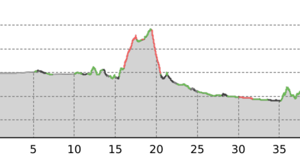
43.1 km
7:00 h
400 mhd
550 mhd


On the 42 km long marathon course the athletes move over frozen lakes, past typical Engadin villages and through a unique winter landscape to S-chanf.
Best Season
Jan
Feb
Mär
Apr
Mai
Jun
Jul
Aug
Sep
Okt
Nov
Dez
Start
Maloja
Destination
S-chanf
Coordinates
46.405755, 9.701044
Details
Description
The trail begins in Maloja, runs across the frozen Engadin lakes (Sils, Silvaplana and lake Champfèr) and into the Stazerwald forest to Pontresina. From here the trail follows the valley floor, along the airfield to Bever and on to S-chanf.
Hidden Gem
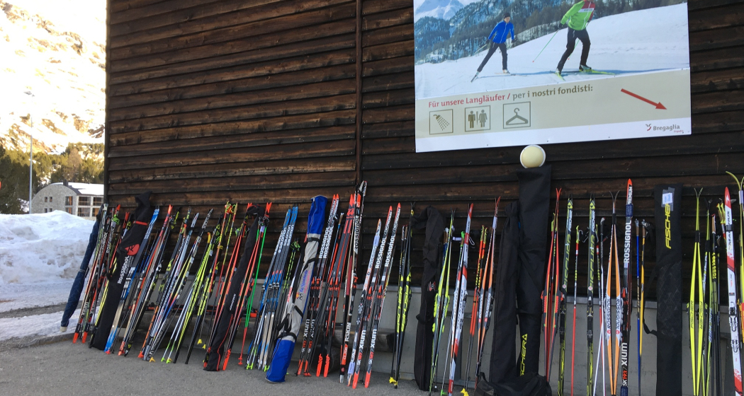
In the multi-purpose hall, visitors have a spacious cloakroom with a hot shower and toilets at their disposal.
Equipment
Equipment can be rented from the local sports shop "Giacometti Sport, Maloja".
Directions
The trail starts in Maloja, runs across the frozen Engadine lakes (Lake Sils, Lake Silvaplana and Lake Champfèr), and into the Staz Forest to Pontresina. From here, the trail always follows the valley floor, along the airfield via Bever to S-chanf.
Directions
Public Transport
Take the bus to the Maloja Posta bus stop.
Parking
Multi-purpose hall Maloja
Responsible for this content: Bregaglia Engadin Turismo.
This content has been translated automatically.

This website uses technology and content from the Outdooractive platform.