Trail Run Tomülpass


Show all 7 images

Details
Description
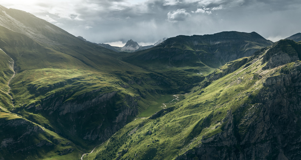
This is soon left behind again when you reach the panoramic clearing Pradätsch, and the now wider trail continues only slightly uphill into the valley. You pass the impressive plain of the Riedboda with its murmuring rivers and waterfalls, before a final steeper climb ends directly in front of the Tomöl mountain pasture. The well-maintained trail then leads steadily up to the Tomülpass. Once in the Safiental valley, the Turrahus, 800 metres above sea level, is reached via numerous hairpin bends and pleasant terrain.
Ausrüstung
Running backpack, drink, bar, mobile, windbreaker
Directions
Village square 1252 m. - Plansch 1410 m. - Pradätsch 1953 m. - Tomülstafel 2181 m. - Tomülpass 2412 m. - Turrahus-Thalkirch - Post bus stop 1695 m.
Possibly ride back to Vals by post bus via Versam and Ilanz.
Directions
Public Transport
As far as Vals by PostBus coming from Ilanz.
Anreise Information
Via Chur-Reichenau-Flims-Laax-Ilanz to Vals.
Parking
Parking lot "Bidem" (subject to fee) near the village square.
Responsible for this content: Visit Vals AG.

This website uses technology and content from the Outdooractive platform.


