Trutg dil Flem: Cirquit 2. | Bergbahnen Flims - Punt da Max - Bergbahnen Flims
7.1 km
3:05 h
371 mhd
370 mhd
Show all 9 images
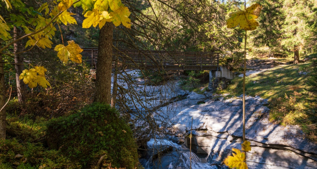
From the Flims Bergbahnen along the hiking trail past Foppa to the Punt da Max. Return downhill via the Trutg dil Flem."
Best Season
Jan
Feb
Mär
Apr
Mai
Jun
Jul
Aug
Sep
Okt
Nov
Dez
Start
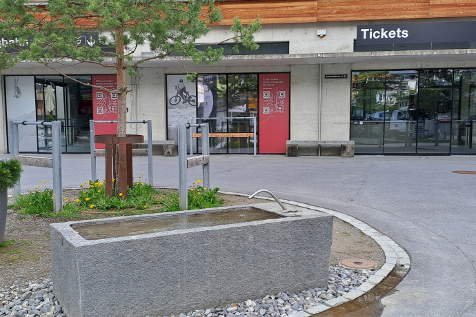
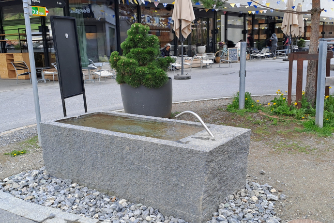
Flims Dorf Bergbahnen
Destination
Flims Dorf Bergbahnen
Coordinates
46.833784, 9.281736
Details
Description
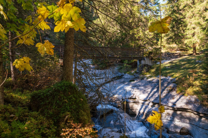
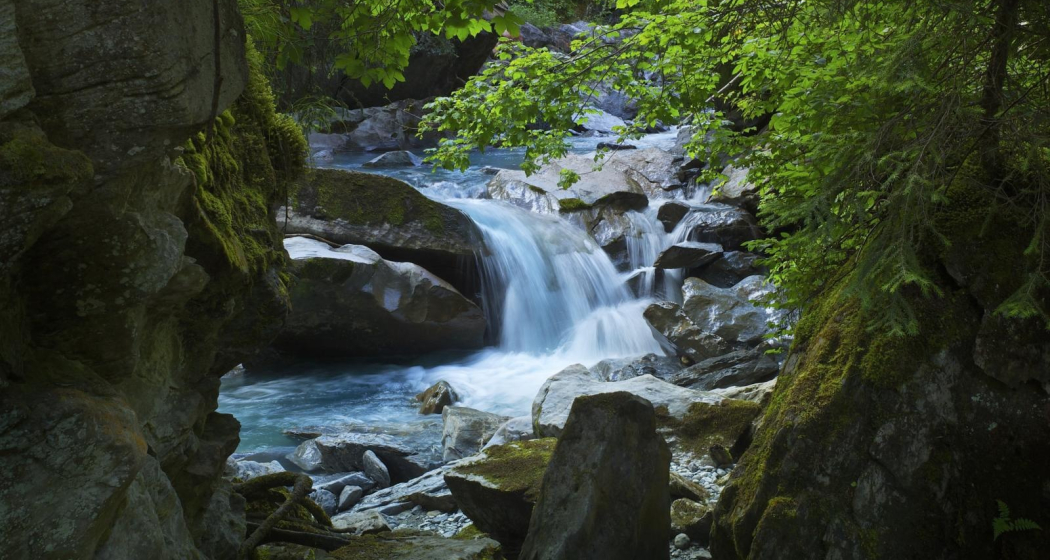
The award-winning Flims Water Trail leads you through unique gorge landscapes all the way down to the village center of Flims. Along the way, you'll discover the most beautiful aspects of water hiking in Switzerland.
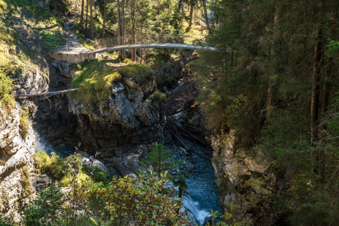
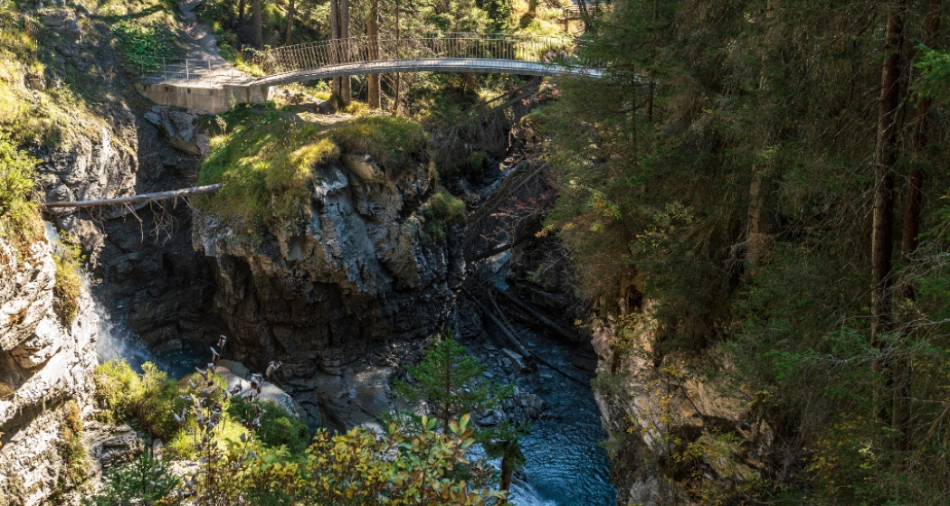
You’ll cross boldly designed bridges created by the renowned Grisons bridge builder Jürg Conzett, offering exceptional views of the bizarre rock formations within the Flem gorges and the chance to listen to the soothing sounds of the mountain stream.
The Trutg dil Flem trail can also be enjoyed in shorter sections. For example, this option starts at Punt da Max, roughly halfway along the full water trail.
Directions
Start at the Flims mountain lifts and follow the signposts in the direction of Foppa. Continue uphill to Punt da Max, and from there follow the Trutg dil Flem trail downhill.
Directions
Public Transport
By Bus to Flims Dorf Bergbahnen
Travel Information
By car to Flims. Flims Dorf Bergbahnen StennaCenter
Parking
StennaCenter Parking Bergbahnen
Responsible for this content: Flims Laax Falera Management Ltd..

This website uses technology and content from the Outdooractive platform.
