Walenstadt-Raischibe-Mols
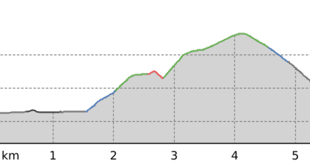
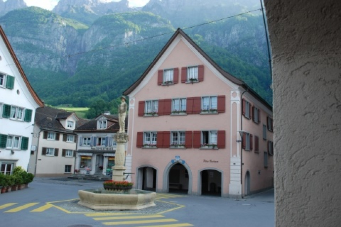
The hike starts at Walenstadt railroad station and continues south through the underpass.
Details
Description
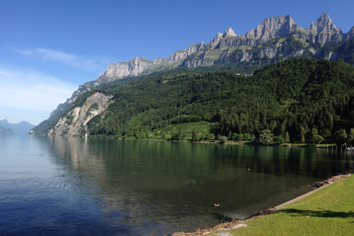
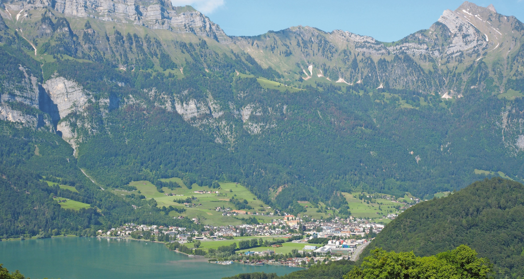
Past the Raischibli hill, the trail leads through the forest with beautiful views of Walenstadt and Lake Walen. After the turn-off towards Mols, the path descends steadily to Mols and the shores of Lake Walen.
Hidden Gem
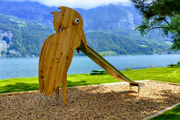
The beautifully landscaped Mols beach with playground and bistro invites you to linger.
Equipment
Normal leisure equipment, sturdy footwear.
Directions
Walenstadt railroad station - underpass heading south - Raischibli - Mols
Directions
Public Transport
By train or bus to Walenstadt
Travel Information
From the south take the highway exit Flums, from the north take the highway exit Walenstadt, then follow the main road to Walenstadt Bahnhof.
Parking
Public parking available at the train station, in the center or at the harbor (for a fee).
Responsible for this content: Heidiland Tourism Ltd..

This website uses technology and content from the Outdooractive platform.


