Winterwandern: kurzer Seerundgang am Brigelser See


Show all 11 images

Leisurely circular hike around the idyllic lake in the mountain village.
Details
Description
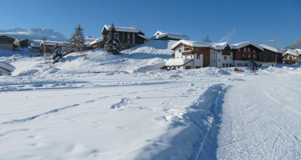
Access to the Plaun Rueun plain at the Hotel Restaurant Vincenz.
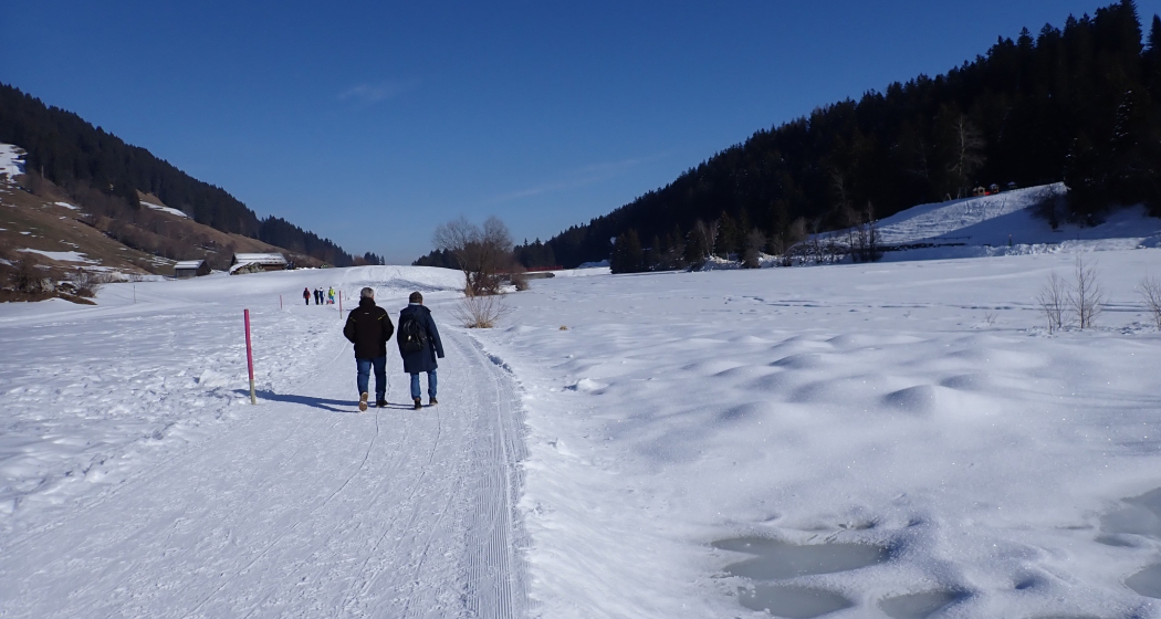
The winter hiking trail leads across the plain to the valley station of the chairlift, around the lake on the winter hiking trail no. 8 and back to Brigels.
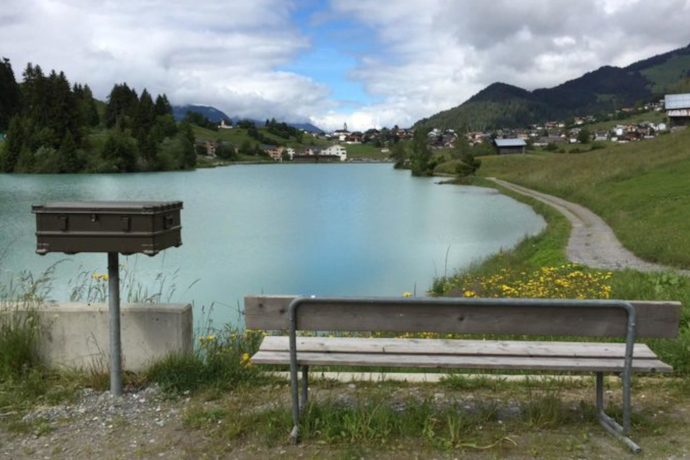
Hidden Gem
The mountain panorama of Brigels can be optimally enjoyed from the bench at the end of Lake Brigels.
Refreshment stops:
- Restaurant Vincenz, Brigels
- La Famusa, Brigels
- Ustria Arena, Brigels
Safety Note
In case of uncertain weather conditions, the tour should not be started. Weather changes in the mountains are common. If a snow front or similar comes up during the hike, you should turn back in time.
144 Emergency Call, First Aid
1414 Mountain Rescue REGA
112 International Emergency Call
Equipment
High and sturdy hiking boots or winter boots, warm clothes, sun protection, hiking poles are an advantage.
Directions
Brigels (Pundaul) - Lake Brigels - Brigels (Pundaul)
Directions
Public Transport
Travel Information
Parking
Responsible for this content: Surselva Tourism.
This content has been translated automatically.

This website uses technology and content from the Outdooractive platform.
