321 Rätikon Bike


Show all 11 images

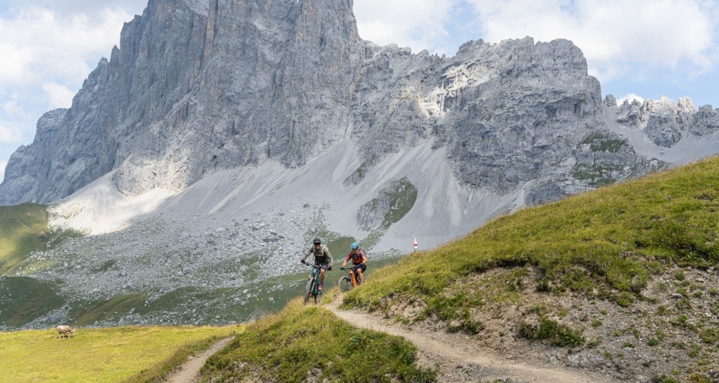
The more than ten-kilometre-long single trail under the limestone walls of the Rätikon is considered a biking pearl in Prättigau. It offers flowing and technical sections as well as thrilling views. Along the alpine path to Schuders and through the wild Schraubachtobel, the descent finally ends in Schiers.
Details
Description
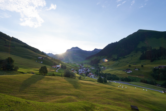
St. Antönien is a typical Walser village, embedded in a magnificent mountain world and the first mountaineering village in Switzerland. The route initially runs uphill on the original route of the legendary "Swiss Bike Masters" bike race. Via Aschüel on a partly paved road, the path climbs under the avalanche barriers of the Chüenihorn up to the Bärgji (2135 m).
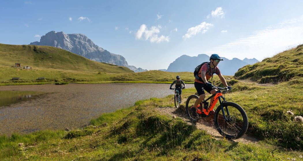
Now the single trail begins with increasingly spectacular views - you experience a first wow moment at the sight of the Sulzfluh. We continue to the Carschinasee (barbecue area, rowing boat) and through hilly terrain to the Carschinahütte SAC (2221 m) (no overnight stays possible in summer 2025 due to renovation, outdoor catering closed Mon-Fri, Sat & Sun). After this first section, it is worth taking a break; because up to this point, eleven kilometres and around 900 metres of altitude have already been covered.
Now the prime piece of the route awaits: A varied single trail (S2) runs westwards on the Prättigauer Höhenweg. Scree passages alternate with pastureland, one or the other boulder wants to be curved. Concentration is required, but the impressive traverse under the limestone walls of the Drusenfluh massif also invites you to stop and enjoy the view again and again. The single trail fun on this high-altitude trail takes about seven kilometres, the difference in altitude is small (400 metres downhill, 100 metres counter-climbs). About 500 metres after the turn-off to the Schweizertor, the steepest section of the descent is tackled. A few tricky passages (S2+) have to be mastered on the last two kilometres of the single trail before the Alpweg is reached above the Grüscher Älpli.
The route now runs on the gravel road to Schuders. Exposed passages require a controlled driving style, and oncoming traffic is also to be expected. In Schuders, turn sharply left onto the Sagenweg, which winds steeply down into the Schraubachtobel. Attention: If the sign "Tobelstrasse closed" is posted, the tarred road to Schiers must be used.
The Schraubach is one of the largest torrents in Switzerland and is also known for its insights into the folds of the Graubünden slate. The forest road is partly only maintained as a gravel road. After the enjoyable ride through the wild ravine, the tour ends in the valley village of Schiers.
Directions
Public Transport
Take the Rhaetian Railway RhB to Schiers or Küblis and from there take the PostBus to Pany or St. Antönien. (Timetable field 90.218 or 90.222)
Please note that you must reserve bicycles on the PostBus routes during the summer season.
Travel Information
Via A13, in Landquart take exit no. 14 (Landquart, Davos, Vereina). Follow the signs towards Davos on the A28 national road to Küblis, where the national road is left. Follow the signs towards Luzein, Pany, St. Antönien.
Parking
Paid parking at the train stations in Küblis and Schiers.
Responsible for this content: Prättigau Marketing.
This content has been translated automatically.

This website uses technology and content from the Outdooractive platform.


