43.07 S-chanf (Cinous-chel) - Dürrboden, Jakobsweg Graubünden
Medium
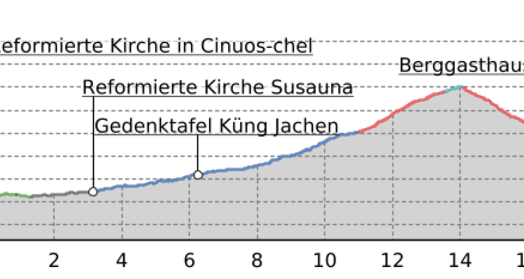
18.2 km
6:20 h
984 mhd
600 mhd


Best Season
Jan
Feb
Mär
Apr
Mai
Jun
Jul
Aug
Sep
Okt
Nov
Dez
Start
S-chanf (Cinous-chel)
Destination
Dürrboden
Coordinates
46.640749, 10.022143
Details
Description
The Scalettapass (scaletta = ladder): used since the Bronze Ages as merchants’ path until the 1971 opening of the Flüelapass. And Vallember – name of the wildly gushing stream by the picturesque Susauna hamlet. Challenging path to the impressive Alp Funtauna, and pass-way to Dürrboden.
Sicherheitshinweis
attention:
In October and the end of April to the end of May, the Swiss Army conducts shooting exercises in the vicinity of S-chanf. Thus, the area between S-chanf and the mountain inn Dürrboden is closed over the Scaletta Pass, or it is life-threatening to go there as a pilgrim.
Responsible for this content: Engadin Tourismus AG.
This content has been translated automatically.

This website uses technology and content from the Outdooractive platform.


