50.03 Splügen - Isola (I), ViaSpluga


Show all 20 images

Details
Description
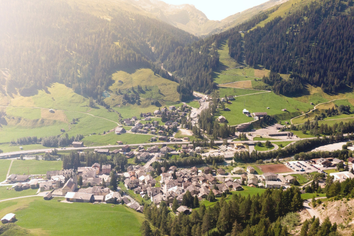
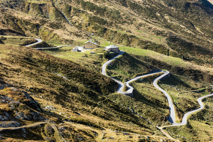
Stage 3 / Splügen-Isola: Today we reach the culmination point of the tour, the Splügen Pass, which stands at an altitude of 2115 metres. It appeared as a mule track on a Roman military map and was previously called "Colmen d'Orso", which means "Bear Pass". From the 14th century onwards, the Splügen Pass was known as a mule route from southern Germany to the Lombardy lowlands. Transit traffic across the Splügen Pass only declined sharply following the opening of the Gotthard railway in 1882. Travelling via Montespluga and the Cardinello Gorge, which was long regarded as the most hazardous part of the route (it is all well developed nowadays), today's stage ends at the village of Isola.
Geheimtipp
Sicherheitshinweis
Ausrüstung
Directions
Stage 3: Splügen–Isola (I): Hike along an Alpine pass on the unique mule track over the Splügen Pass with an exposed descent through the gorge of the Val Cardinello. Setting off from the mountain pass village of Splügen, the trail takes you through larch woods running alongside the Hüschera Stream and then crosses the large car park. Keeping to a track, follow the stream until you reach the main road at the actual Splügen Pass. Veer right at the Marble Bridge and take the hiking trail close to the Hüschera Stream in the direction of Bodmenstafel. After the switchback (pt. 1845), cross the road and then the stream. The path soon leads along carefully assembled cobbles over the Altbäärg and on up to the border. This is definitely the section of the route on which you will experience the most pronounced sense of the old mule track. When you reach the culmination point (alt. 2115 m),the trail continues straight ahead on the cobbled path and crosses a run of bulky rocks. At the Cantoniera, cross the road and follow the trail to Montespluga.The route runs along the right-hand side of the reservoir up to the dam wall, of which you walk along the crest. After the dam, follow the signposts which lead to the mule track through the Cardinello Gorge. The path, which is cut into the rockface in some places, leads to Isola via the hamlets of Soste and Torni.
Directions
Public Transport
Northbound by rail to Bellinzona and by postbus to Splügen, Post Office.
www.rhb.ch
www.sbb.ch
www.postauto.ch (Switzerland)
www.stps.it (Italy)
Anreise Information
Northbound on the A13/E43, in the direction of Chur, "Splügen" exit.
Parking
Responsible for this content: Viamala Tourism.

This website uses technology and content from the Outdooractive platform.

