64.02 Lenzerheide - Tiefencastel, ViaSett


Show all 6 images

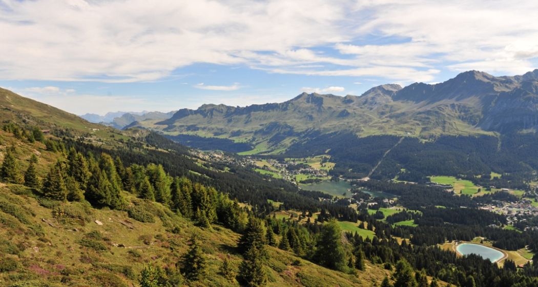
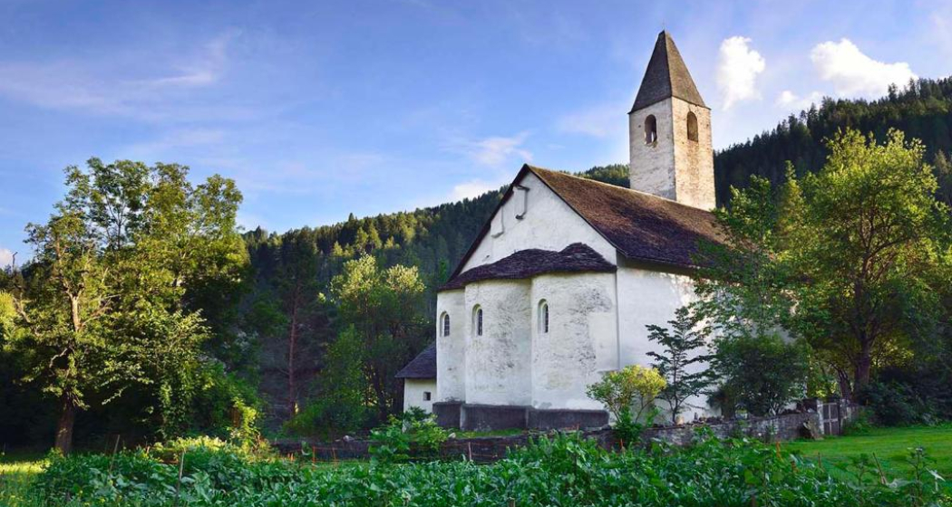
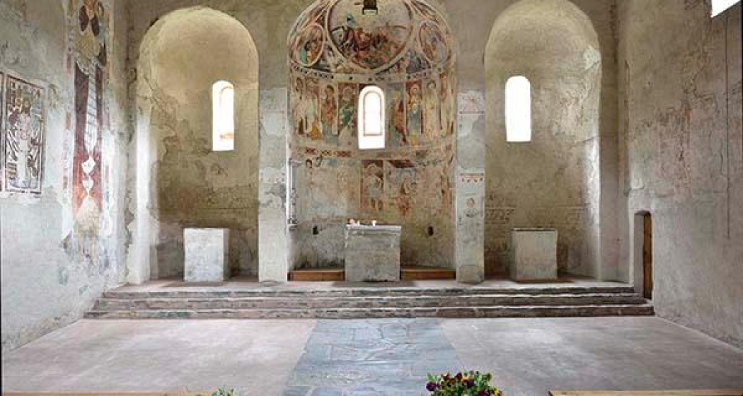
The Parc Ela, the largest nature park in Switzerland, which unites the three language cultures Romansh, German and Italian. With steep mountain peaks and vast landscapes surrounded by glaciers and mountain lakes, the park still offers a real wilderness feeling. Visit the Church of St. Peter Mistail in Alvaschein. The former monastery church was built around 800 in the time of Charlemagne. Characteristic of the Carolingian church are the unstructured, flat-roofed church hall and the three apses, which have been preserved in their original form in Mistail.
Details
Description
Lantsch/Lenz is the gateway to Parc Ela, the largest nature park in Switzerland. Passing the mountain huts of Tschividains, the route leads to the chapel of Son Cassian. The "La Tor" house, a medieval customs station, is still a reminder of the importance of Lantsch/Lenz as a port station on the Septimerweg. Prehistoric finds at the "Bot da Loz" hill and the church of St. Mary with its wrought-iron grave crosses are further cultural highlights, as is the Carolingian church of St. Peter Mistail (Alvaschein). At the confluence of the Julia and Albula rivers, Via Sett crosses the former customs bridge to Tiefencastel.
Stages:
64.03.: Tiefencastel - Savognin
64.06.: Vicosoprano - Chiavenna
Audio guide for your smartphone
With our new acoustic hiking guide, you will learn interesting facts about nature and culture, history and legends along the Via Sett.
Learn more:
https://www.graubuenden.ch/de/news/graubuenden-akustik-erleben
Geheimtipp
Via Sett is accessible from mid-June to mid-October, depending on weather conditions. The 93 km long long-distance hike from Chur (CH) to Chiavenna (IT) can be hiked in 6 or 7 daily stages. The average walking time per day is 4 - 7 hours.
Book Via Sett now at:
www.bike-explorer.ch/touren/hike/sett
BIKE EXPLORER
+41 81 356 22 44
www.bike-explorer.ch
Ausrüstung
Wear sturdy footwear with a sturdy hiking sole and take rain gear with you.
Directions
Public Transport
Responsible for this content: Graubünden Ferien.
This content has been translated automatically.


