Andeer – Lai da Vons – Splügen – Andeer


Show all 5 images

Details
Description
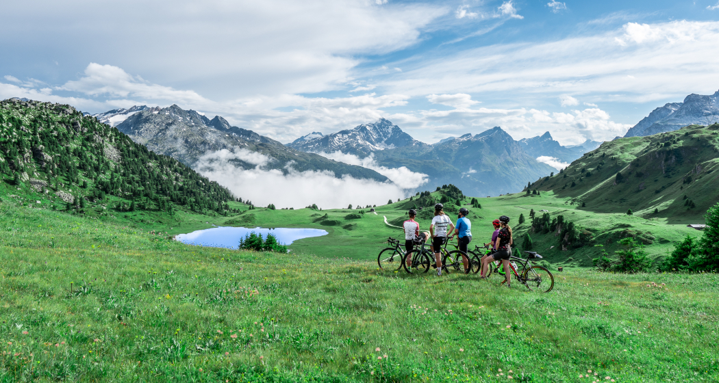
The road from Andeer (982 m above sea level) climbs relentlessly in the direction of Lai da Vons. As you climb higher and higher through the forest of the Tranter Tschaingel, you will catch wonderful views over the entire valley. At Pastgaglia (1844 m above sea level) you already have almost a thousand meters of altitude in your legs and leave the tree line behind. There are hardly any flat pieces that bring relaxation. You still have to bite your teeth briefly. At Larisch, turn left. The dirt road is now a bit bumpier. Shortly after the highest point of the climb (2050 m above sea level) you will see the mountain lake Lai da Vons. In the tranquillity of nature, you can enjoy the epic panoramic view, pat yourself proudly on the back and let it roll down the mountain to Sufers (1428 m above sea level).
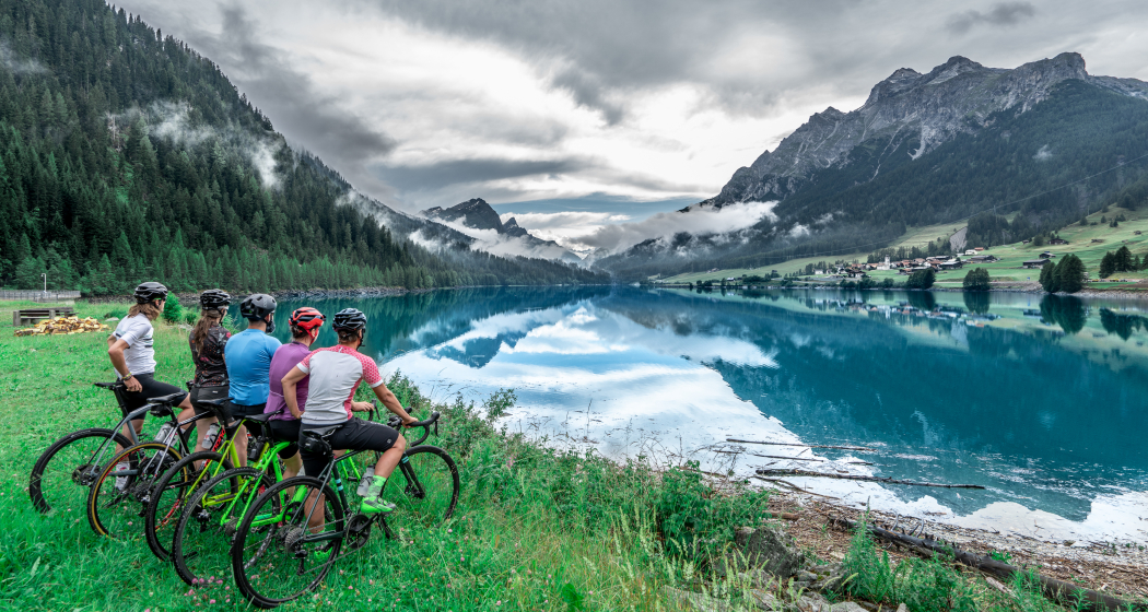
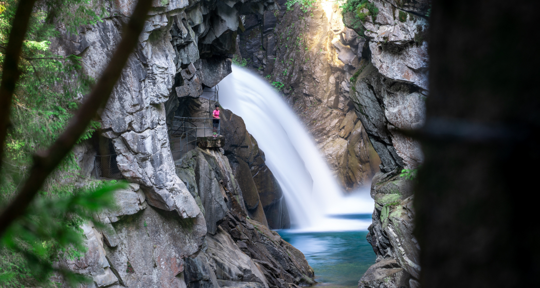
The cycle route no. 505 "Rheinwaldroute" leads through the valley floor of the Rheinwald to Splügen (1458 m above sea level), a mountain pass village in Graubünden. You leave Splügen on cycle route no. 505 "Rheinwaldroute" down the valley. First, it goes for a few meters in the direction of the Splügen Pass. In the first bend, however, you turn left and reach a short but steep climb through the Fugschtwald. A rapid descent takes you to Lake Sufner (1400 m above sea level), whose water glows turquoise. On the northern shore of the lake, take the road with little traffic in the direction of the Rofla Gorge. Great views of the wild gorge are also guaranteed from the road. Via Bärenburg you will return to Andeer.
Responsible for this content: Graubünden Ferien.
This content has been translated automatically.

