Stage 6: Elm – Flims, 73.06 Sardona World Heritage Trail


Show all 3 images

Details
Description
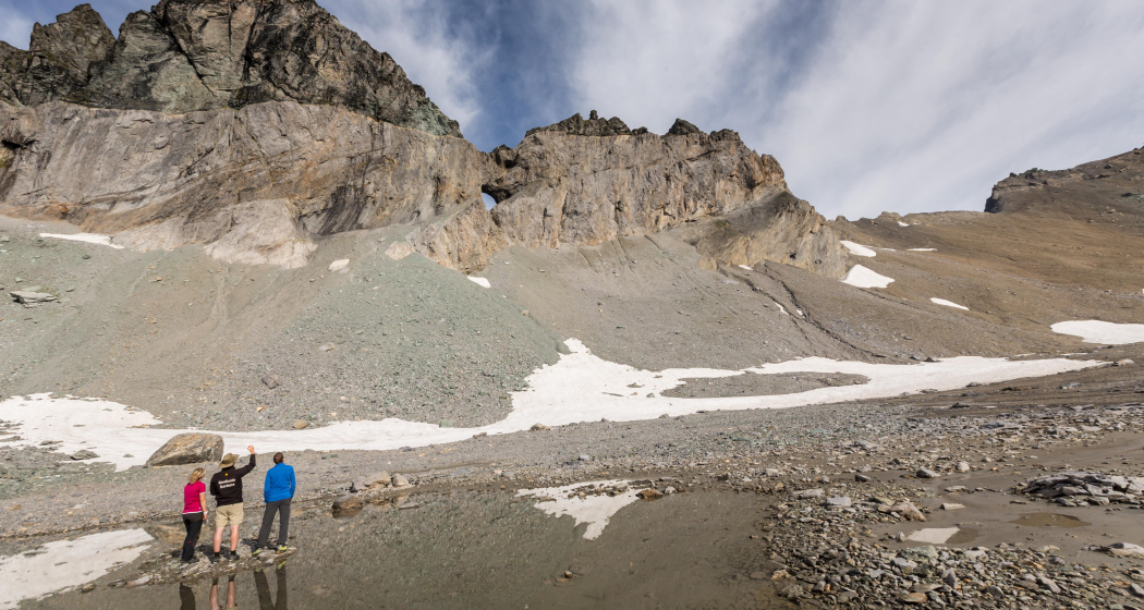
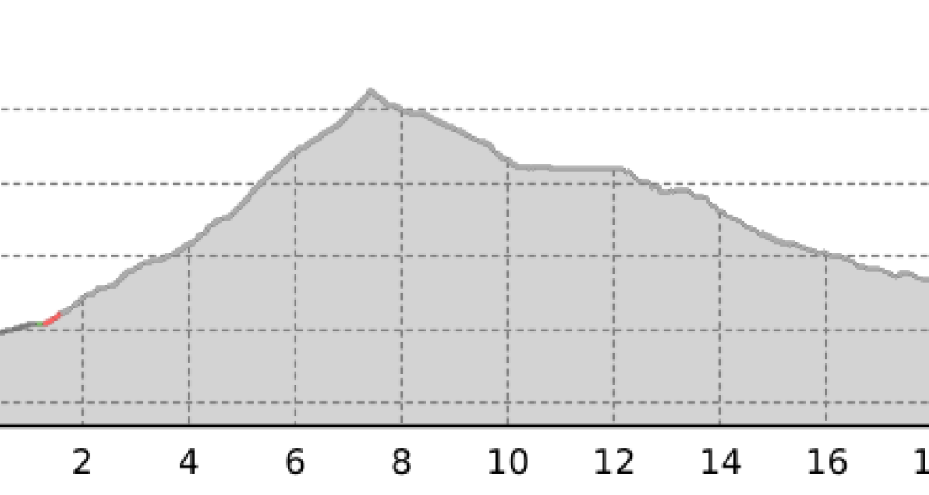
The first 500 meters of altitude up to the Tschinglen-Alpkann can be overcome with the Tschinglenbahn. There are also catering and accommodation options here. This is followed by the steep ascent to the Brünschegg, from where the summit peaks of the Tschingelhörner are very clearly visible above the razor-sharp line of the Glarus main thrust. Once you have arrived at the Segnes Pass, you have a magnificent mountain panorama. The World War II cabin now serves as a mountain lodge cabin. This is followed by the steep descent over the lower Segnes plain (alluvial plain and moorland of national importance) to the Segneshütte, from where the Flimserstein becomes visible. West of the Flimserstein, the largest alpine landslide fell after the last ice age. Via the Trutg dil Flem it goes down to Flims, the destination or starting point of the Sardona World Heritage Trail.
Further information and links:
73 Sardona World Heritage Trail further discover:
Geheimtipp
Sicherheitshinweis
Responsible for this content: Graubünden Ferien.
This content has been translated automatically.


