Murgseen Rundweg


Show all 16 images

Details
Description
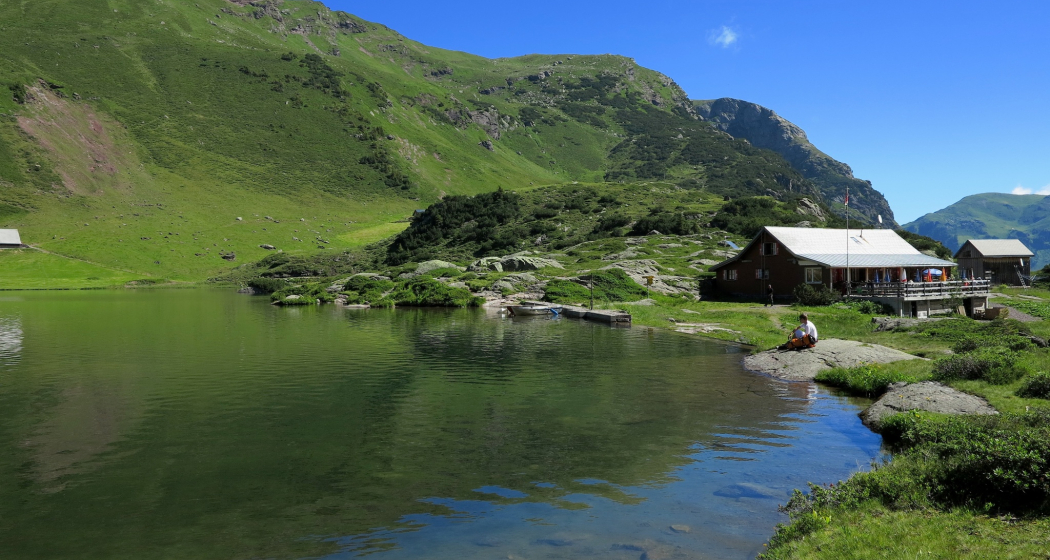
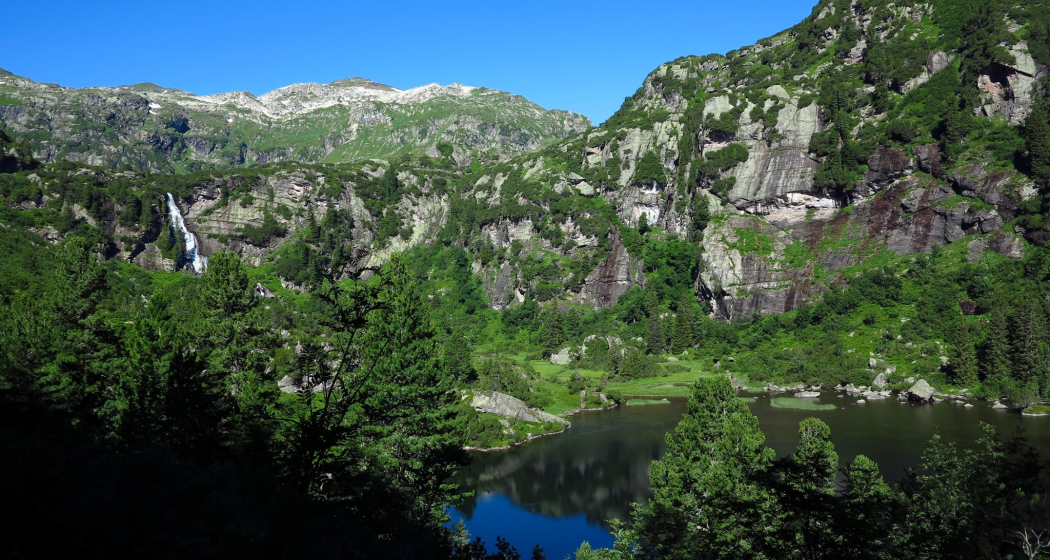
The Murgsee circular hike is a classic. In the Heidiland holiday region, it ranks high in popularity, right behind the 5-lake hike at Pizol. The Murgtal opens at the southern shore of Lake Walen. It is crossed by the Murgbach, which flows into Lake Walen. At the upper end of the Murgtal lie the three Murg lakes – Lower, Middle, and Upper Murgsee – nestled in a magnificent mountain arena. Just above Merlen, the Murgtal branches into a side valley, the Mürtschental, which makes this circular hike between the cantons of St. Gallen and Glarus possible. The direction of the hike does not matter. We choose the ascent via Mornen and also hike through the protected Swiss stone pine forest reserve at the Lower Murgsee. Here the forest is left to develop naturally.
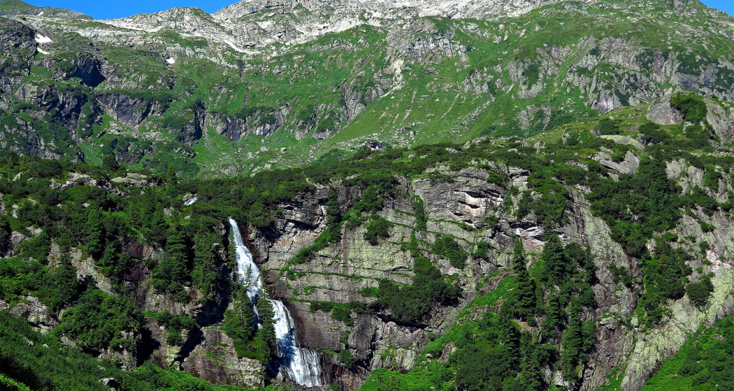
A waterfall cascades into the Lower Murgsee. Shortly after, we reach the Murgsee hut at the Upper Murgsee. Behind the hut, the path rises steeply to the Murgseefurggl pass. From this viewpoint, we enjoy a last look at the Upper Murgsee – then it goes downhill. First to Ober-Mürtschen; the route runs parallel here to the Sardona World Heritage path, then along the Sponbach stream downhill to Merlen.
Hidden Gem
The mountain inn Murgsee offers sleeping accommodations, so the hike can also be done in two days or combined with a route over to the Flumserberg.
Safety Note
Demanding circular hike with significant altitude differences. White-red-white marked mountain paths. Difficulty: T2.
Equipment
Normal hiking equipment, sturdy mountain shoes.
Directions
From Merlen (1098 m) via Mornen (1335 m) up to the Upper Murgsee and to the mountain inn Murgsee (1820 m), then steeply up to the Murgseefurggl pass (1985 m) and via Ober Mürtschen (1720 m) and Unter Mürtschen (1494 m) back to Merlen.
The circular route can of course also be walked in the opposite direction.
Directions
Public Transport
By train to Murg, then by Murgsee bus/taxi Walser to Merlen (prior registration required, tel. +41 (0) 81 738 14 41).
There is no public transport connection between Murg and Merlen. An alternative to the taxi is arrival by private car (toll road).
Travel Information
Parking
Responsible for this content: SwitzerlandMobility.