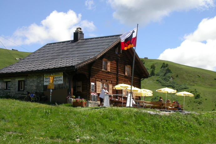
Schanfigger Höhenweg, 6th stage, Hochwang - Chur


Show all 8 images

Unique Alpine flora, wild ravines, and mountain forests: The last stage of the Schanfigger Höhenweg is mainly characterized by the descent to Chur, which features a drop of 1,500 meters in elevation and a length of 15 km.
Details
Description
This section of the route is the "wildest" of the long-distance hike. Although beautiful traditional Maiensäss such as Lafet and Balnettis are passed and mountain meadows are crossed, one is often in wild gorges. The path here is little frequented and is not part of alpine access roads as on other sections. It is all the more astonishing when you suddenly meet farmers who are haymaking again. The meadows are very high and steep, and access from the valley runs over extremely steep roads, which are now replaced by the—of course sensible—improvement roads.
Hidden Gem
Safety Note
In rain and especially thunderstorms, the ravines must be crossed with increased caution.
Basically, in bad weather, you should carefully consider whether to undertake the route, as it is not without danger.
Equipment
Directions
Directions
Public Transport
By train to St. Peter via Chur and from there by the nostalgic postbus to the Hochwang hut.
Travel Information
By car to Chur and then by public transport to Hochwang.
Parking
Several parking garages in Chur.
Responsible for this content: Arosa Lenzerheide.

This website uses technology and content from the Outdooractive platform.
