Swiss Epic Test Track A (long)


Show all 4 images

Details
Description
Arosa will host the Spar Swiss Epic in 2022. Part of the official route can already be used as a test track. In addition, everyone has the opportunity to take part in the associated photo challenge.
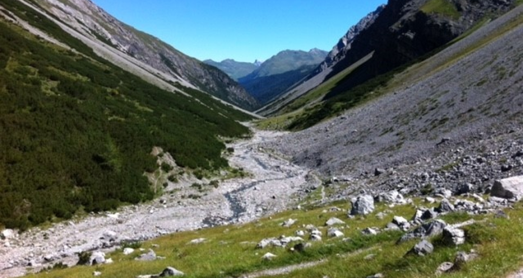
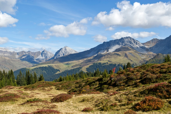
This is test track A, which is slightly longer than test track B at around 20.5 kilometres. The tour starts in Arosa and leads in a slight ascent via Prätschli to the Rot Tritt. From there, the route continues over the Scheidegg, past the Maraner Hauptji to the middle station of the Arosa-Weisshorn cable car. The route leads via the Sattelalp to Innerarosa, where the lower part of the Hörnli Trail provides a flowing descent. Afterwards, an idyllic stream is crossed and the tour goes uphill again through the shady forest. A last detour leads through the wild and romantic Welschtobel and the Iselwald before returning to Arosa via Untersee.
Photo Challenge:
If you complete the test track and take a creative picture at each of the marked points, you will have the opportunity to win a participation in the Swiss Epic 2023.
Here's how it works:
- Ride down the test track by mountain bike
- Take a cool photo at every photo point
- Either post the photos on social media and tag @bearmountains or upload them in this form
- Bear Mountains Arosa will repost the photos
- After the Swiss Epic 2022, the most creative series of images will be selected. The winner will be allowed to compete in the Swiss Epic in the summer of 2023 on behalf of Arosa Tourism
Geheimtipp
The most creative series of pictures wins, so come up with something and send us your pictures.
Ausrüstung
Mountain bike
helmet
photo camera or mobile phone
Directions
Sportplatz Ochsenbühl – Arosa Bahnhof – Tomelistrasse – Prätschli – Oberer Prätschsee – Rot Tritt – Scheidegg – Maraner Hauptji – Mittelstation Luftseilbahn Arosa-Weisshorn – AlpArosa – Hörnli Trail – Büdemjiweg – ARA – Welschtobel – Stausee Arosa – Strandbad Untersee – Arosa Alteinstrasse
Directions
Public Transport
The Rhaetian Railway runs every hour from Chur to Arosa (also in the opposite direction). From the train station you can reach the starting point of the tour in about 3 minutes.
Anreise Information
From Chur over the winding Arosa road to the end of the valley to Arosa.
Parking
At the entrance of the village there is a large signage with the various parking possibilities. We recommend the parking garage Ochsenbühl. For more information, see arosa-parking.com
Responsible for this content: Graubünden Ferien.
This content has been translated automatically.


