Trans Grischun: Castrisch–Scuol (Stage 3)
Show all 13 images
Details
Description
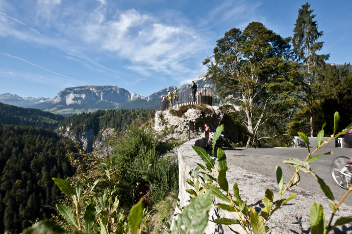
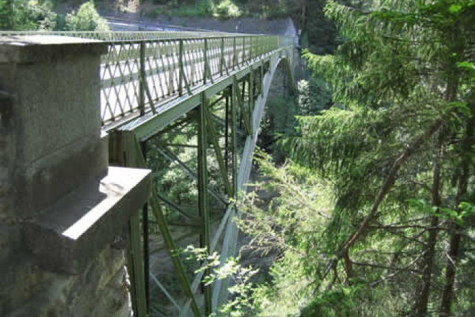
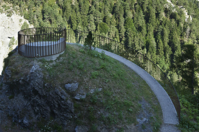
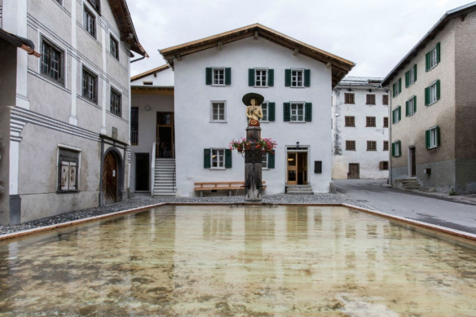
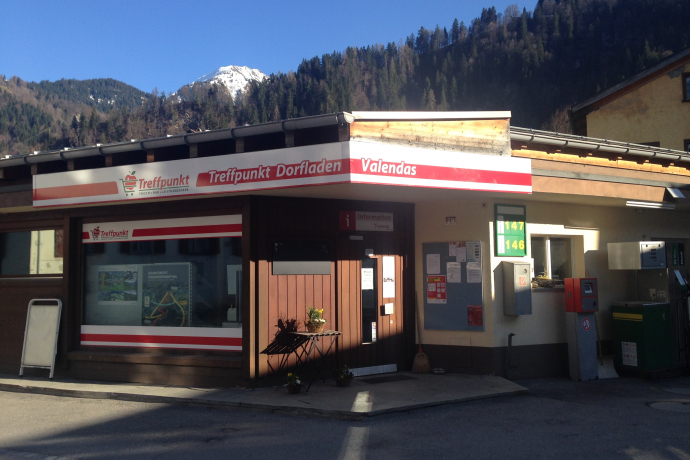
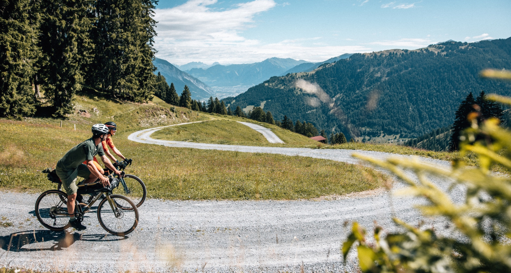
The stage starts in the tranquil village of Castrisch. You first follow the official Rhine cycle route no. 3. The road rises only gently – perfect to loosen up your legs. In Valendas you can fill your water bottle with fresh mountain spring water – from Europe's largest wooden fountain. Shortly after Carrera, turn off onto the road to Brün and continue up to Imschlacht. The road and views are fantastic. Tip: At the mountain dairy inn you can refuel with a portion of mountain cheese, Salsiz or a nut tart. Then continue down into the Safien valley. Next comes another highlight: the spectacular panoramic road along the Rhine Gorge. The rock walls of the “Swiss Grand Canyon” rise 300 meters high. From Bonaduz you roll on side roads to Chur. You cover the section between the capital of Graubünden and Lavin in the Lower Engadine leisurely by the Rhaetian Railway.
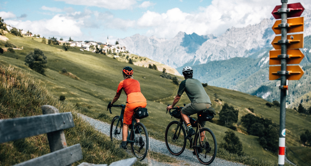
From the Lower Engadine village of Lavin, your muscles are called on again. The route to the stage destination leads you on a fine gravel path via Guarda to Scuol. Below you flows the light turquoise Inn. In the Lower Engadine, a completely different landscape awaits you. The sunburned barns of the Surselva have been replaced by houses with colorful paintings. The art of “Sgraffito,” the traditional stucco technique of the region, is practiced by only a few in the valley. And in Scuol, not only mountain spring water flows, but even mineral water from the fountains. Simply fresh.
Total distance and elevation (without public transport section): 66 km, 1400 m ascent, 1900 m descent
Hidden Gem
The Trans Grischun regularly goes through inhabited areas, so you will always find accommodation options and can adjust the stages to your needs.
Safety Note
In case of uncertain weather conditions, the route should not be started. Weather changes in the mountains are common. If a rain front or similar approaches during the route, you should turn back in time.
Equipment
Helmet, gloves, cycling shoes, glasses, rain and sun protection, drinks, repair kit, first aid kit
Directions
Castrisch - Valendas - Brün - Imschlacht - Arezen - Versam - Versamer Tobel - Bonaduz - Reichenau - Tamins - Felsberg - Chur - public transport - Lavin - Guarda - Ftan - Ardez - Scuol
Directions
Public Transport
Stage route
Travel Information
Stage route
Parking
Stage route
Responsible for this content: Surselva Tourism.
This content has been translated automatically.

This website uses technology and content from the Outdooractive platform.
