Via Panoramica Bolada Trek in valle Calanca


Show all 9 images
This historic route was once the main axis connecting the upper valley and Santa Maria, now the subject of important recovery interventions thanks to local volunteers.
Details
Description
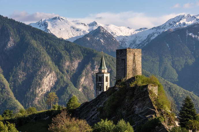
It starts from Santa Maria, home to the mother church of the valley, already mentioned in 1219. From the tower you can enjoy an exceptional panoramic view: from Monte Ceneri to the middle Mesolcina, up to the coniferous forests of Castaneda and Santa Maria.
The well-marked path leads to the Bald Mountains and, at an altitude of 1,200 m a.s.l., plunges us into the dense larch and fir forest for the first time. You cross areas where mature forests alternate with young natural reforestation. Leave the plain of Scignan on the right, rich in moorland, and reach the highest point of the hike at 1,674 m a.s.l., at the Chapel of Sant'Antonio de Bolada. Built in 1620 and recently rebuilt with great effort, it offers spectacular views over the Calanca valley, up to the Zapport massif.
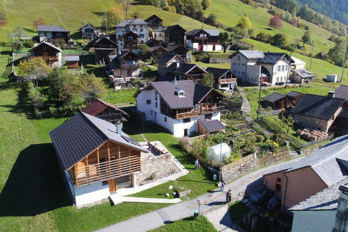
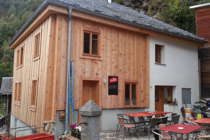
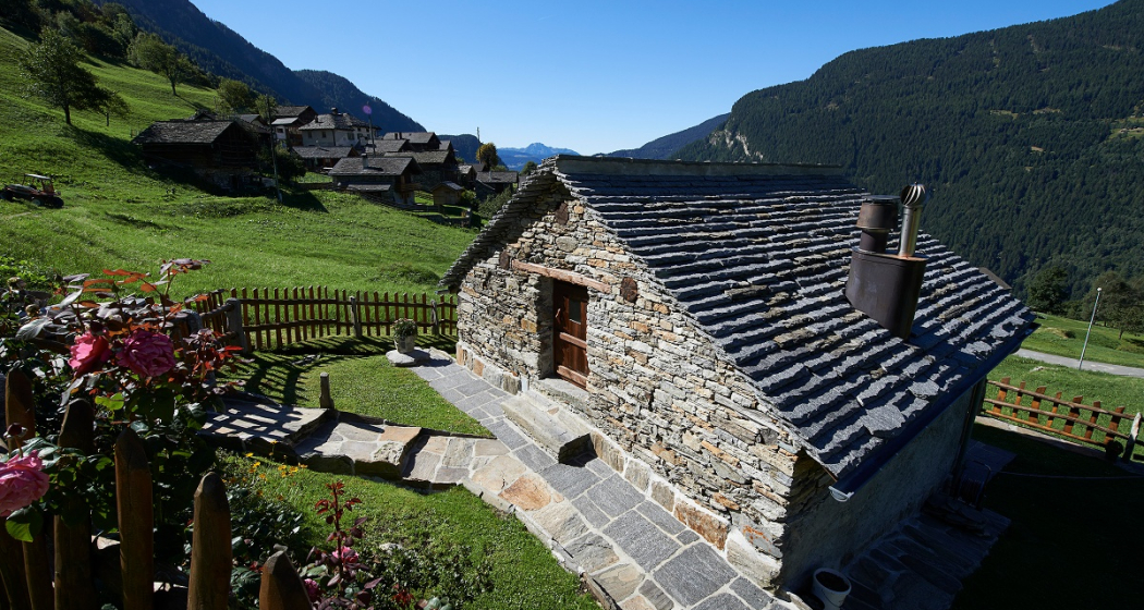
The descent to Braggio winds through a wild and unspoilt landscape. Braggio, a mountain village without motorized traffic, can only be reached on foot or by cable car. Characterized by well-preserved historic houses, a small shop and well-kept pastures, the village is an authentic and evocative stop. The path then continues through the forest, crossing several mountain pastures to Montdent, where you meet a carriage road that crosses the imposing Auriglia gorge.
From here, the descent to Selma begins in the Cauco mountain pasture, in the village of Bersach. The parish church of Selma, dedicated to Saints James and Peter, and the characteristic agricultural landscapes of the area are worth a visit.
Responsible for this content: Ente Turistico Regionale del Moesano (ETRM).
This content has been translated automatically.

This website uses technology and content from the Outdooractive platform.

