Zuoz - Val Susauna - S-chanf - Zuoz (e-mountain bike)
Show all 11 images
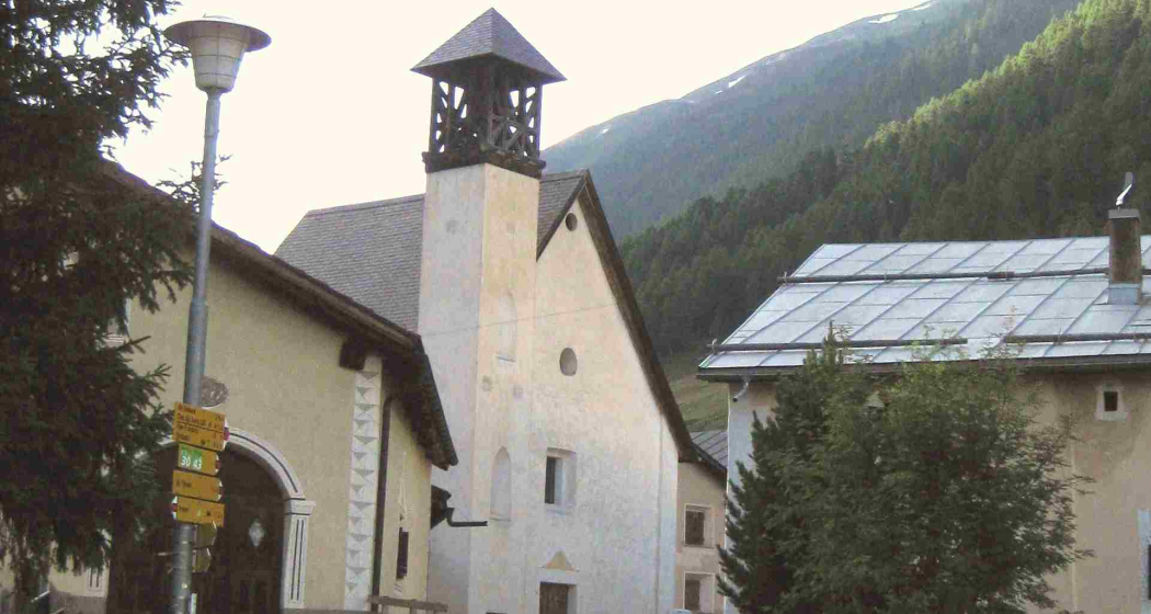
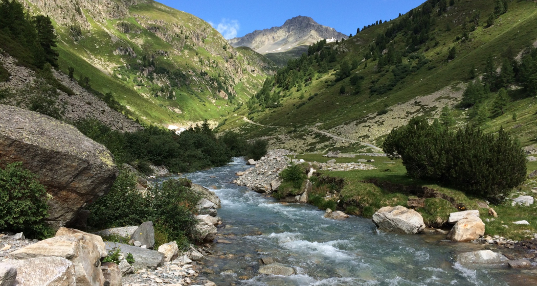
From Zuoz into the wild Val Susauna on the traces of the pack animals
Details
Description
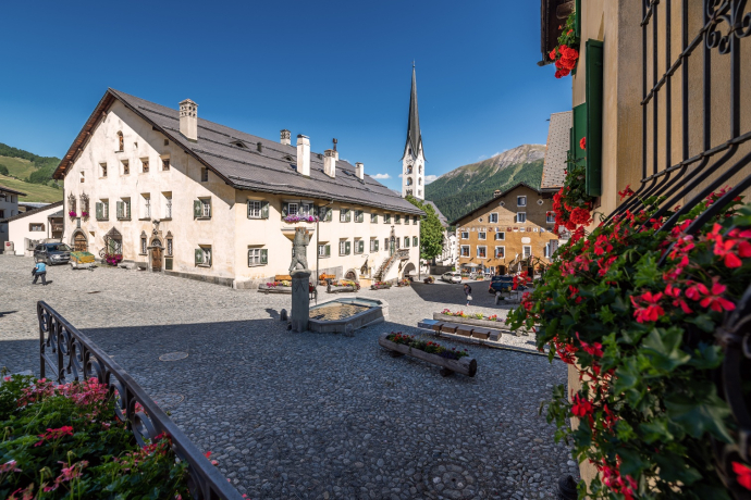
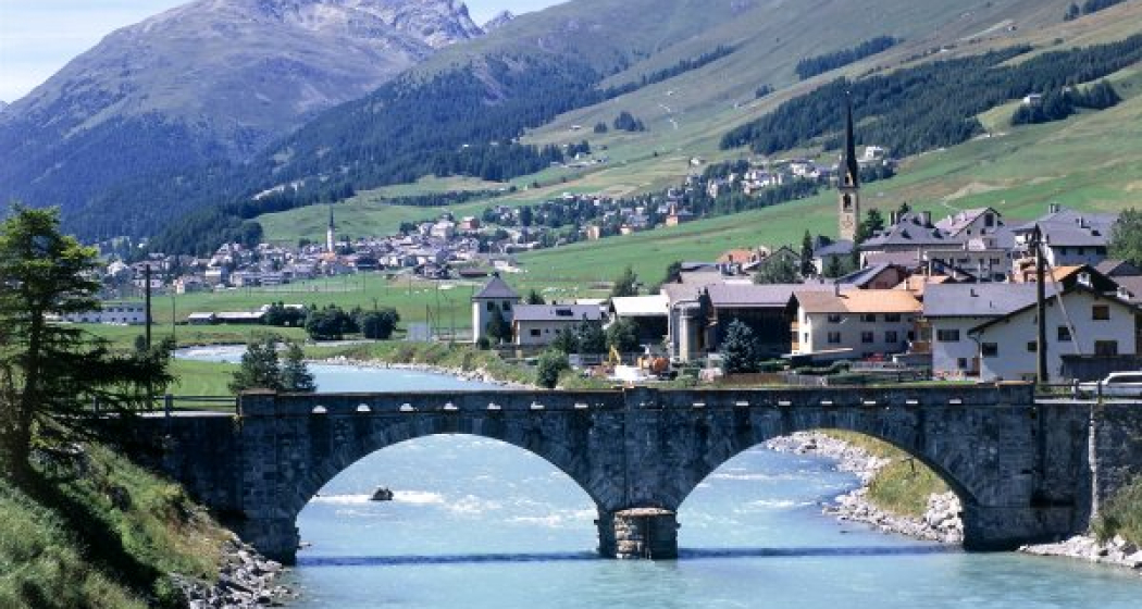
From Zuoz station, the route first leads down to the other side of the river to the golf course and then follows the edge of the forest to S-chanf. Outside S-chanf, a natural road leads left under the railway tracks and diagonally up into the forest towards Chapella. At the junction down to Chapella, follow the hiking trail to Susauna. From Susauna, an alpine road leads towards Scaletta Pass, an important traffic axis during the pack animal times. The first section to Alp Pignaint is a beautiful natural road, afterwards, the road becomes steeper and the condition deteriorates somewhat. Soon the valley opens and the day's goal, Alp Funtauna, is reached. The return is on the same road back to Susauna. After Susauna, take the paved road to Chapella. Ride a short section on the main road before a natural road leads right uphill to S-chanf. Through the ancient Engadine village of S-chanf, the trail branches off to the right at the end of the village. One more short ascent and then it's downhill back to Zuoz, past the beautiful village square, returning again to the station.
Further information
Engadin Tourism AG
Via Maistra 1
CH-7500 St. Moritz
Telephone: +41 81 830 00 01
E-mail: allegra@engadin.ch
Internet: www.engadin.ch
Hidden Gem
Val Susauna is especially beautiful in autumn when the larches glow golden.
Directions
Zuoz - Resgia - S-chanf - Susauna - Alp Fontauna - Susauna - Chapella - S-chanf - Zuoz
Responsible for this content: Engadin Tourismus AG.

This website uses technology and content from the Outdooractive platform.
