30.07 S. Romerio - Tirano (I), ViaValtellina


Show all 8 images

Details
Description
Our tip for the following stage of the ViaValtellina:
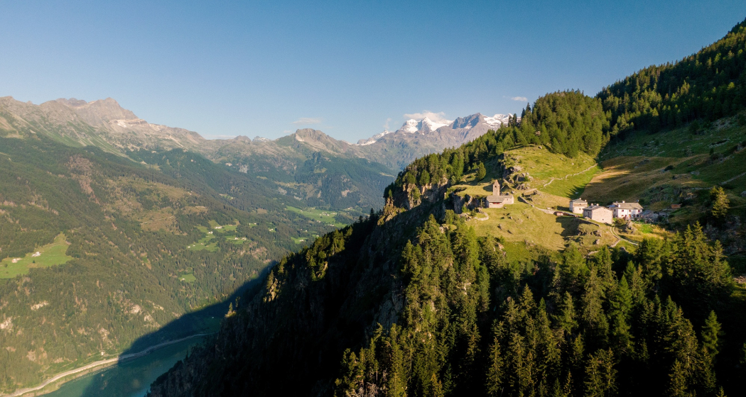
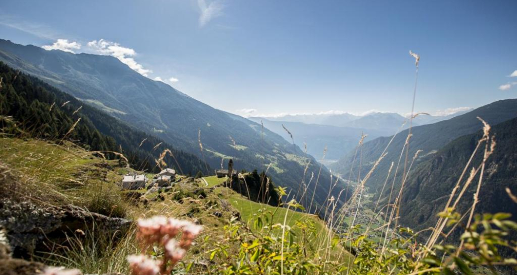
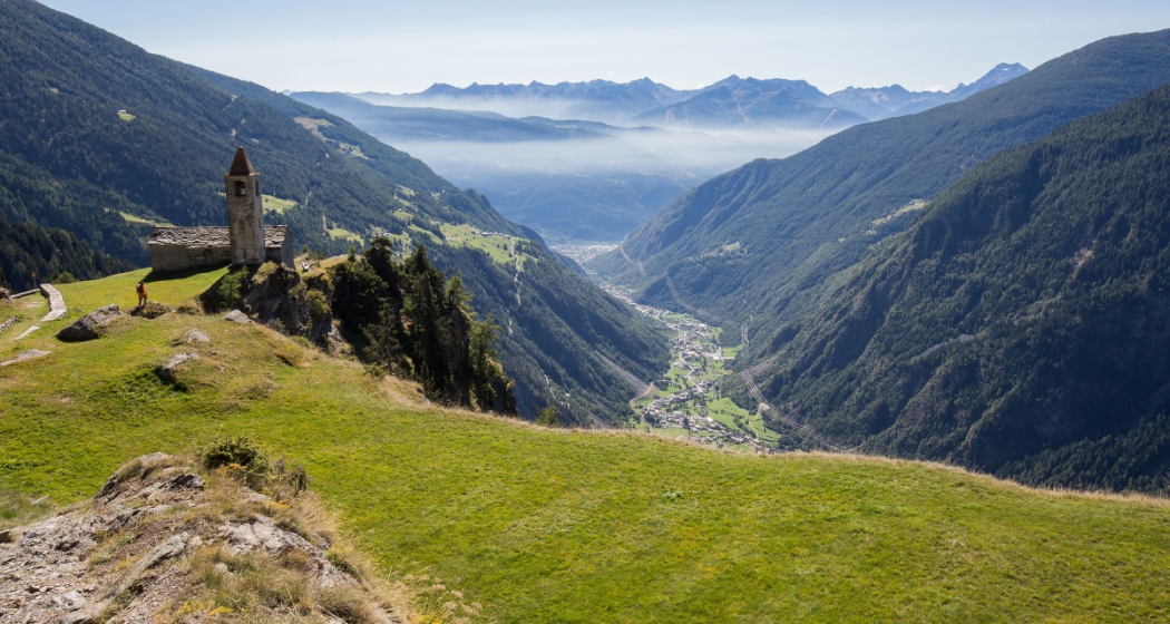
- San Romerio: The sanctuary and refuge are located 800 meters above Lake Poschiavo.
On old mule tracks, partly on melioration roads, you reach Viano after about 1 1/2 hours. Then follows a short climb to La Dogana (unmanned border post). As far as Roncaiola in Italy, you will discover traces of the former smugglers' paths again and again. From Roncaiola, a partially paved path leads through the vineyards to Tirano.
The final destination of the Via Valtellina South and standard route has been reached. Tirano is also the starting point of the Italian continuation of the Via Valtellina, because the Via Terrazzementi to Morbegno begins here.
Benvenuto in Italia. Tirano was the starting point of the wine muleteers: here grows the popular "Veltliner". You should definitely treat yourself to a tasting of Valtellina specialties (wines, bresola and cheeses) and take your time to visit Palazzo Salis.
Book Via Valtellina now at:
TourEvent GmbH
+41 81 420 40 80
info@tourevent.ch
www.alpen-trails.ch
Geheimtipp
Sicherheitshinweis
Attention: Snowfields possible into summer months on high-level sections.
Directions
Public Transport
Rhaetian Railway
The Rhaetian Railway offers the possibility to take the train from Tirano back to Valposchiavo. Please check the timetable.
Timetable: www.sbb.ch/en
Responsible for this content: Valposchiavo Turismo.
This content has been translated automatically.

This website uses technology and content from the Outdooractive platform.
