85 Senda Sursilvana (5 Etappen)


Show all 8 images

Senda Sursilvana – High Trail with a View
The Senda Sursilvana offers insights into a diverse region with numerous natural and cultural features. The high-altitude hike runs above the young Rhine and always invites you to make worthwhile detours to the riverbank.
Details
Description
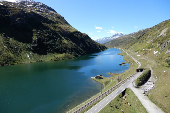
The Surselva is more than just a mountain valley. It is an independent region with its own language (the Sursilvan), a history shaped by the Disentis monastery and old mountain passes, and a strong connection to the water. The Rhine rises here, at Lake Tomasee near the Oberalp Pass. Reservoirs provide energy, and the Rabiusa has created one of the most impressive gorges in the Alps with the Ruinaulta and the Flims landslide.
The hike through the Surselva leads through an intact landscape and offers exciting insights into cultural history - for example in the Reformed Church of Waltensburg or at the menhirs of Falera. The tour concludes with a tour of the old town of Chur, the oldest city in Switzerland.
Here you will find our two stages:
Stage 3: Sumvtig - Breil/Brigels
Directions
Public Transport
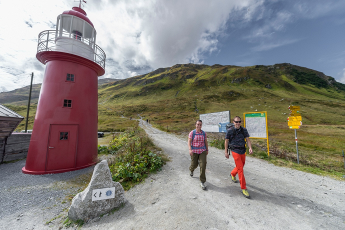
By train from Andermatt or Disentis to Oberalp Pass
Travel Information
From Andermatt or Disentis to the Oberalp Pass
Parking
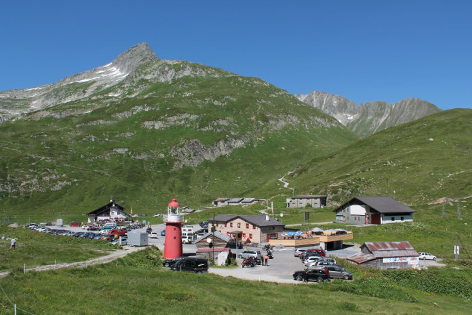
On the Oberalp Pass: Plenty of parking spaces available
Responsible for this content: Surselva Tourism.
This content has been translated automatically.

This website uses technology and content from the Outdooractive platform.
