High-altitude hike Calfeisental valley
Difficult
23.1 km
8:25 h
1302 mhd
1302 mhd
Show all 8 images
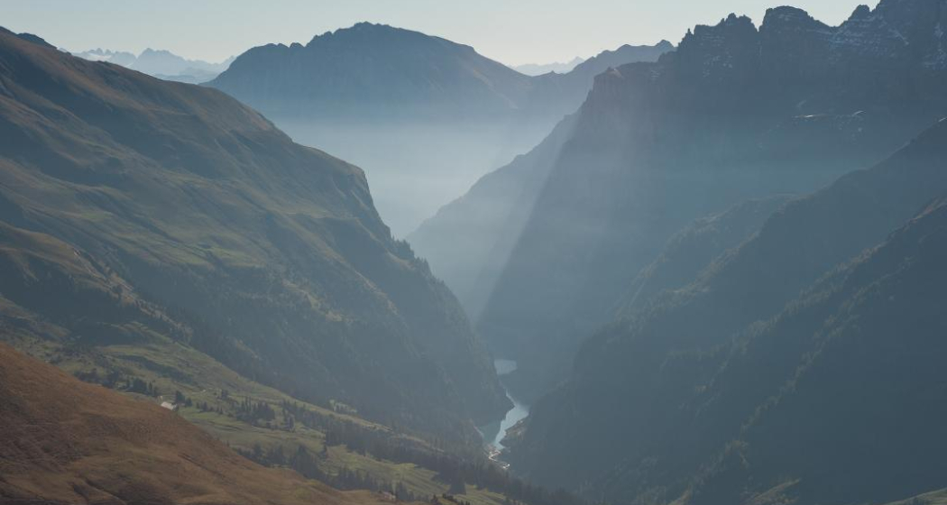
High-altitude hike from the Sardona hut to Lake Platten and Lake Heitel.
Best Season
Jan
Feb
Mär
Apr
Mai
Jun
Jul
Aug
Sep
Okt
Nov
Dez
Start
St. Martin
Destination
St. Martin
Coordinates
46.920545, 9.355527
Details
Description
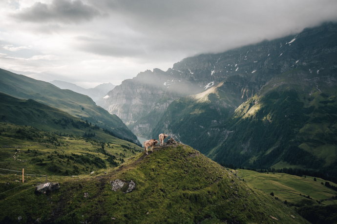
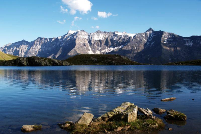
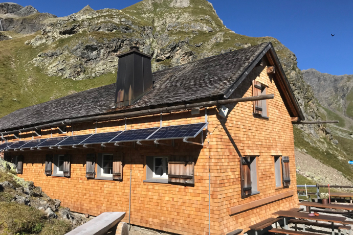
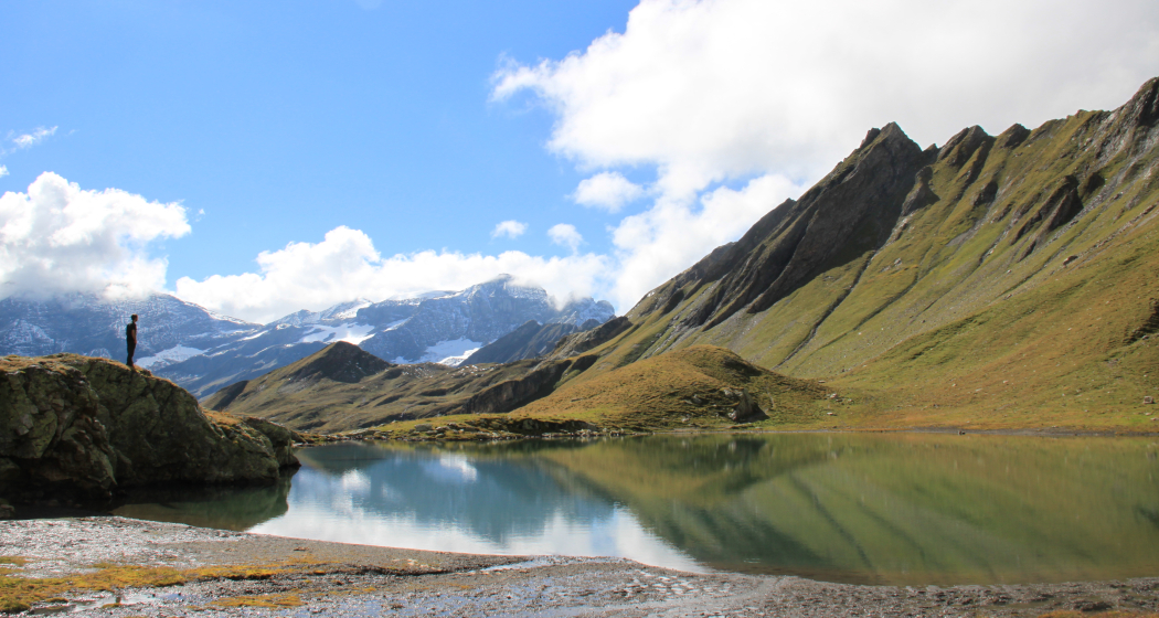
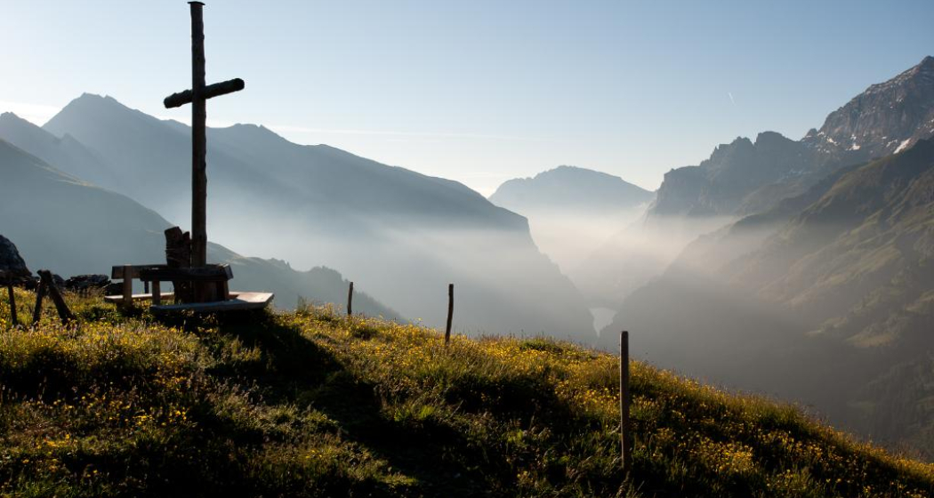
It is recommended to undertake the round tour as a two-day tour, with an overnight stay in the SAC Sardona hut. The high-altitude hike from the Sardona hut to the Plattensee and Heitelsee lakes is considered the "hiking highlight" in the Calfeisen valley. Throughout the tour, you have the overwhelming mountain backdrop of the iRingel, Sardona and Gigerwaldspitz peaks before your eyes. The crystal-clear, smaller mountain lakes, Plattensee and Heitelsee, invite you to linger. The flora on the Chratzeri, with its small raised bogs, is lush and unique, especially in early summer. The ridges and mountain peaks along the entire route are ibex territory.
Hidden Gem
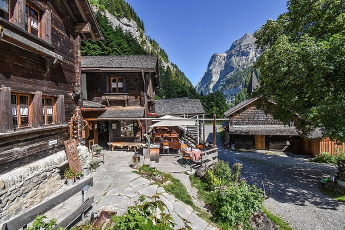
The cozy restaurant at Sankt Martin invites you to linger over a drink or a meal.
Safety Note
Special care is required depending on the weather conditions. It can be very slippery in some places, especially when wet.
Equipment
Good hiking equipment, very sturdy mountain boots.
Directions
St. Martin - Sardonaalp - SAC Hütte Sardona - Sardonahütte - Hintere Chratzeri - Vordere Chratzeri - Plattenseeli - Horni - Chüetal - Heitelseeli - Malanseralp - St. Martin
Directions
Travel Information
By car to St. Martin. From every full hour, cars can drive from the Gigerwald dam to St. Martin for 20 minutes, as this is a one-way route.
Responsible for this content: Heidiland Tourism Ltd..

This website uses technology and content from the Outdooractive platform.
