Monte Sissone


Show all 4 images

Details
Description
Geheimtipp
Since it is a classic and busy route of the Albigna Basin, there is usually a marked track along the entire route
. Nevertheless, sufficient knowledge of mountaineering technology is required as far as roped walking on a glacier is concerned; otherwise, it is better to entrust yourself to a leader
Ausrüstung
WS / Since it is a classic and busy route of the Albigna Basin, there is usually a marked track throughout the route
. Nevertheless, sufficient knowledge of mountaineering technology is required as far as roped walking on a glacier is concerned; otherwise, it is better to entrust yourself to a leader. Essential: rope, pimples, crampons. You leave the hut early in the morning with advantage.
Directions
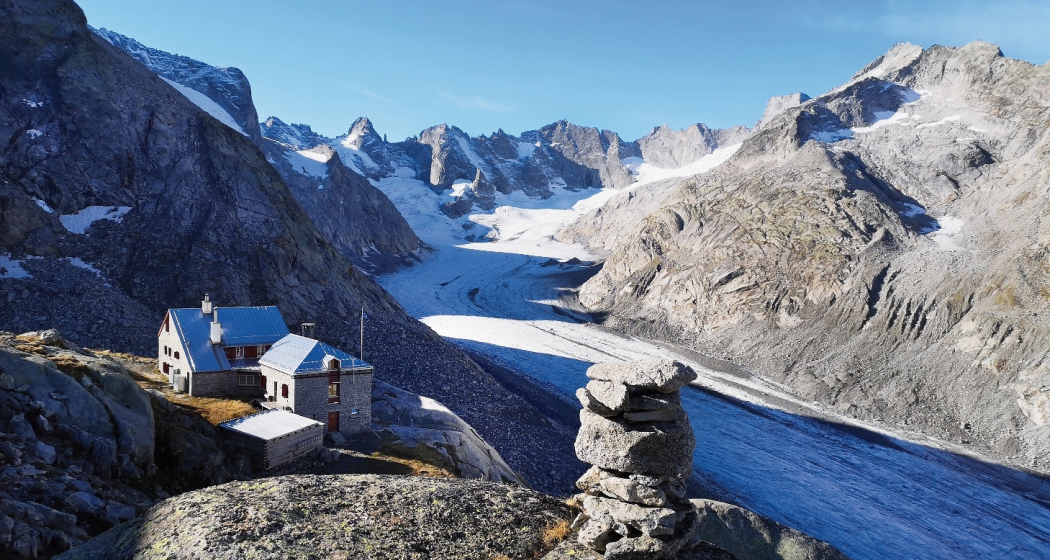
In summer, it is best to use the marked route towards Passo Vazzeda as an access to Monte Sissone: With the help of 400 meters of steel chains, you walk diagonally on grass and rock bands along the western flank of Monte Rosso towards the southeast. The path is occasionally exposed, but well secured everywhere and offers magnificent views of the Vadrec del Forno. You finally reach a green shoulder (turnoff to Monte Rosso, about 2840m).
This is followed by a short descent towards the glacier at the foot of the Cima di Rosso – here you leave the markings on the left, cross the ice and climb southwestwards to P. 2961. Now turn southeast (beware of crevices parallel to the direction of travel!) and reach the Passo Sissone (3146m) without technical difficulties. Along the north ridge you climb over firn and boulders to the summit (3328m).
Attention: The ascent to P. 2961 is only recommended as long as there is still snow. In late summer, unpleasant plates make it difficult to progress.
Responsible for this content: Bregaglia Engadin Turismo.
This content has been translated automatically.

This website uses technology and content from the Outdooractive platform.