Trailrun: Ladir - Alp Muota - Falera
Closed
Medium
12.2 km
2:00 h
609 mhd
690 mhd


Show all 4 images

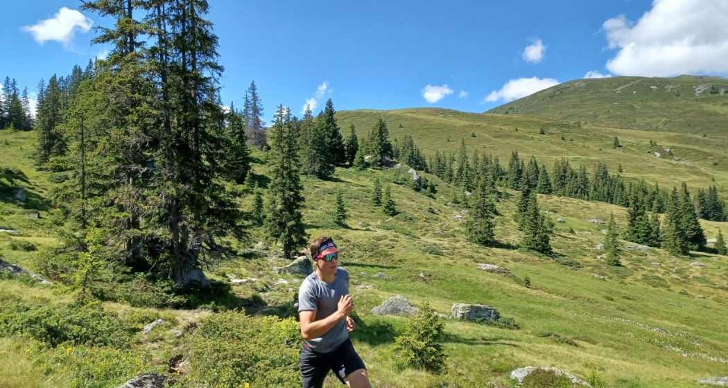
A beautiful route that takes you up to almost 2000 m above sea level.M. to Alp Muota (Muntanaus) and connects the two sunny municipalities Ilanz/Glion and Falera.
Best Season
Jan
Feb
Mär
Apr
Mai
Jun
Jul
Aug
Sep
Okt
Nov
Dez
Start
Ladir
Destination
Falera
Coordinates
46.791272, 9.201918
Details
Description
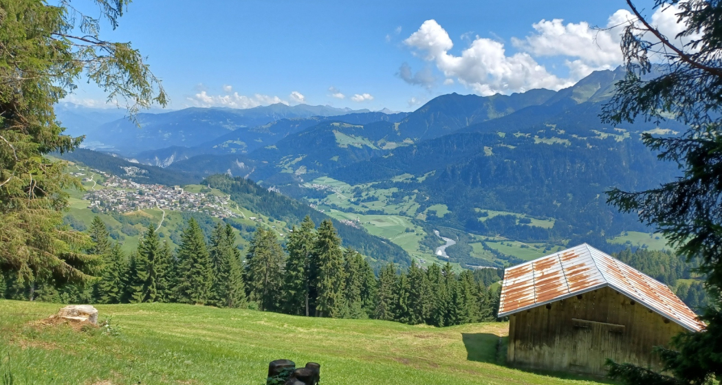
Experience a beautiful topography, which scores with the wide view towards Chur and with a direct view of the village of Falera. In addition, this tour certainly scores with the peace and the retreat, with little to no hiking traffic, despite the tourist location. From Alp Muota to Falera, the path is well signposted with the color red and white on steel posts or stones.
Hidden Gem
At the fork in Muntanaus (well signalled) there is still the possibility for the experienced trail runners to attach further larger tours. See map.geo.admin.ch or on the SwissTopo app.
Safety Note
In uncertain weather conditions, the tour should not be started. Weather changes in the mountains are frequent. If a rain front or similar comes up during the hike, you should turn back in time.
Equipment
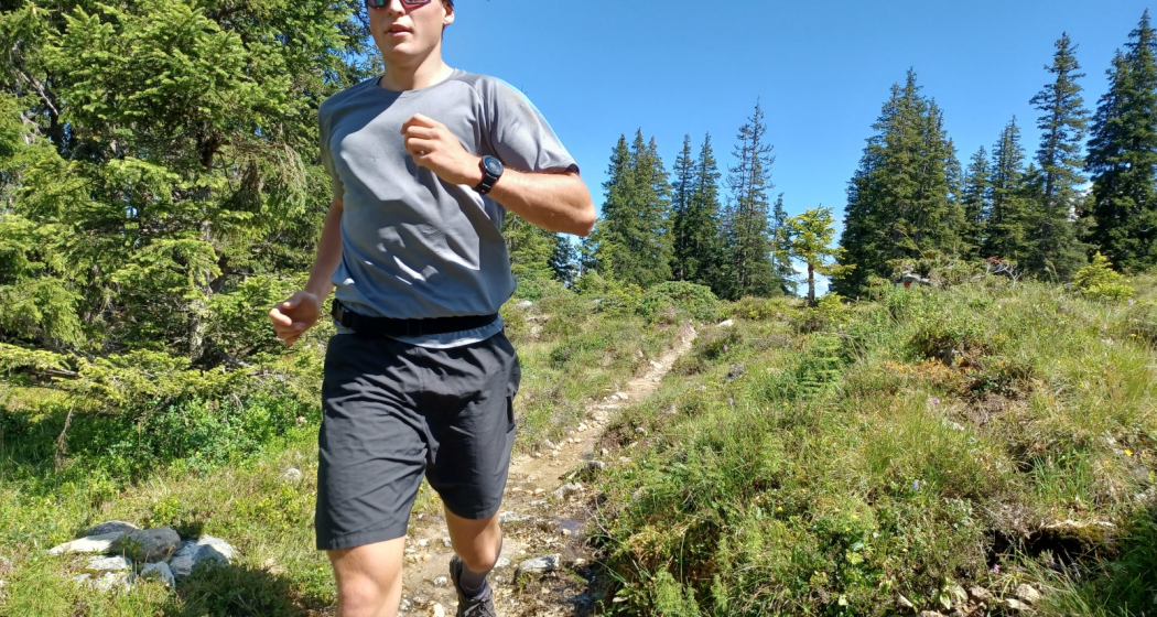
Trail running shoes with a good profile and a grippy sole, clothing adapted to the weather, first aid kit, drinks and food.
Directions
The route leads at the beginning through the village of Ladir on the alp up to the north. At the fork, where the shooting range is located, the paved road is not left. The entrance to the trail is about 150 meters after the fork, left at the beginning of the forest. After this short stretch through the forest, you will reach a crossroads where the path continues north straight up to Alp Muota. Arrived at the alpine hut you are directly in the alpine area of the suckler cows. The path leads directly through the pastures and alpine sprouts to the edge of the ski area of the Alpenarena Flims Laax Falera.
Directions
Public Transport
Take bus B422 towards Ladir and get off at the post office stop Ladir, vitg. The exact connections can be found on the SBB website: www.sbb.ch
Travel Information
On the A13 to Reichenau, then on the main road 19 via Flims to Ilanz and then up to Ladir.
Parking
Parking in Ladir at the church. Attention the trail running route is not a round trip.
Responsible for this content: Surselva Tourism.
This content has been translated automatically.

This website uses technology and content from the Outdooractive platform.