Trailrun route Palfries: Lanaberg


Show all 5 images

Varied trail run from Heiligkreuz to Palfries: through forests, past a waterfall, with panoramic views at the destination – ideal for sporty nature lovers.
Details
Description
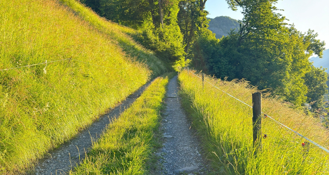
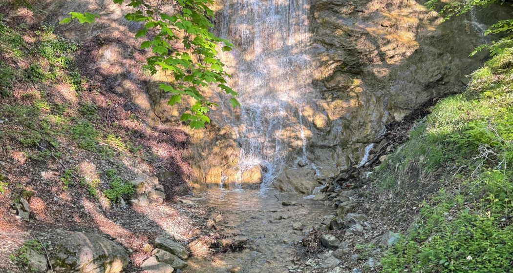
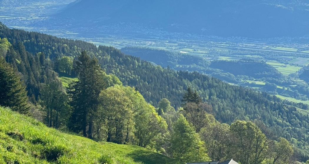
The route runs on varied paths through shady forests, open high trails and over lush green alpine meadows. Along the way there are several opportunities to rest – whether at the rushing waterfall, at the cozy Lanaberg ski hut or on the sunny terrace of the Gonzen mountain inn with views over the St.Gallen Rhine Valley, to Liechtenstein and as far as Austria. The route offers ideal conditions to find your own running rhythm and remains continuously easy to walk. At the end, a scenic high point awaits: the view of the Churfirsten and Lake Walen. A return trip by cable car rounds off the experience in a relaxed way.
Hidden Gem
Of the three trail routes to the cable car mountain station, this is definitely the most beginner-friendly.
Equipment
Normal trail running equipment (good trail shoes recommended), weather-appropriate and durable clothing in layers, if necessary telescopic poles, sun and rain protection. Bring sufficient food and drink (self-catering principle). Maps and mobile phone with good reception.
Directions
We start our trail run at the valley station of the Palfries cable car and run through the shady Ragnatscher forest towards Heiligkreuz – ideal for warming up, as the path gently ascends. At the intersection of Kürschnengasse, Tscherfingergasse and Erzweg, we follow the well-marked Erzweg further towards Sargans. The varied path quickly lets us find our rhythm.
After the Erzweg, we switch to the Eugstweg, which seamlessly continues into the Rheintaler high trail. At the Luterbach waterfall, a short break is recommended. Shortly thereafter, we reach the Lanaberg ski hut – perfect for a first longer rest. Then on to the Gonzen mountain inn, where we could enjoy regional cuisine and a fantastic view. Over meadows and pastures the trail leads to the Rieter huts. The ascent becomes a bit steeper here but remains manageable.
At the end, we cross wetlands on wooden bridges, follow the alpine road, and finally reach the Palfries mountain station – with a magnificent view of the Churfirsten and Lake Walen. The descent with the cable car forms the relaxed conclusion.
Directions
Public Transport
By train to Flums or Sargans, then by bus to the Heiligkreuz Ragnatsch stop. Here is the valley station of the Palfries cable car.
Travel Information
Flums motorway exit, then on the main road towards Sargans/Mels. The valley station of the Palfries cable car is located in Heiligkreuz on the left side of the road. The Palfries cable car is signposted.
Parking
Public parking is available at the valley station of the Palfries cable car (paid).
Responsible for this content: Heidiland Tourism Ltd..

This website uses technology and content from the Outdooractive platform.