Um Su Circular Route, Lumbrein
Medium
16.8 km
6:30 h
1081 mhd
1115 mhd


Show all 15 images

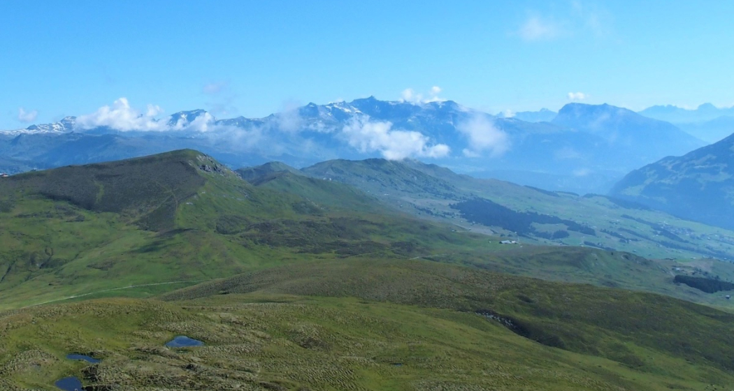
Especially among ski tourers, Um Su is a well-known and popular mountain. Its stunning views and diverse landscape make it worth hiking in the summer as well.
Best Season
Jan
Feb
Mär
Apr
Mai
Jun
Jul
Aug
Sep
Okt
Nov
Dez
Start
Lumbrein
Destination
Lumbrein
Coordinates
46.685494, 9.136182
Details
Description
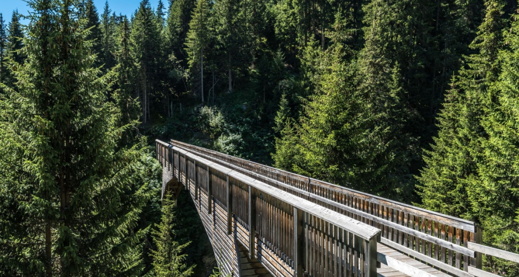
The hike begins at the upper edge of the village of Lumbrein, heading towards Val da Mulin. Shortly after crossing the impressive wooden bridge over Val da Mulin, the trail winds through alpine meadows and pastures, reaching Alp Staviala Vedra and continuing upward to Um Su. Once at the top, the stunning panorama quickly makes you forget the strenuous ascent. After a short break, the hike continues up to the ridge. The path follows the ridge for a short while before the descent towards Alp Cavel begins. Upon reaching the alpine stables, the route becomes more relaxed as you head towards Summaplaunca and pass through the "Uaul da fiugs" back to Lumbrein.
Tip: Take the hiking bus to Alp Sezner and then hike up to Um Su via Alp Nova. Time saved: approximately 1 1/4 hours.
For information regarding closures of hiking and biking paths due to wolf presence, please refer to here.
Geheimtipp
Take the hiking bus to Alp Sezner and then hike to Um Su via Alp Nova. Time saved: approximately 1 1/4 hours.
Sicherheitshinweis
The tour should not be undertaken in uncertain weather conditions. Weather changes are frequent in the mountains. If a rain front or similar is approaching during the hike, you should turn back in good time.
144 Emergency call, first aid
1414 Mountain rescue REGA
112 International emergency call
Ausrüstung
Good hiking boots with a good tread, clothing suitable for the weather (rain jacket), first aid kit, drink, food, possibly hiking poles
Directions
Lumbrein - Val da Mulin - Staviala Vedra - Um Su - Scharls - Alp Cavel - Summaplaunca - Uaul da Fiugs - Lumbrein
Directions
Public Transport
Postbus line 90.441 Ilanz - Vrin, stop Lumbrein.
Anreise Information
Via Chur, take the A3/A13 to Flims, then continue to Ilanz in the Val Lumnezia.
Parking
Public parking is available on the school grounds in Lumbrein.
Responsible for this content: Surselva Tourism.
This content has been translated automatically.

This website uses technology and content from the Outdooractive platform.


