E-Bike Trophy - destination Sankt Martin

Show all 5 images
Details
Description
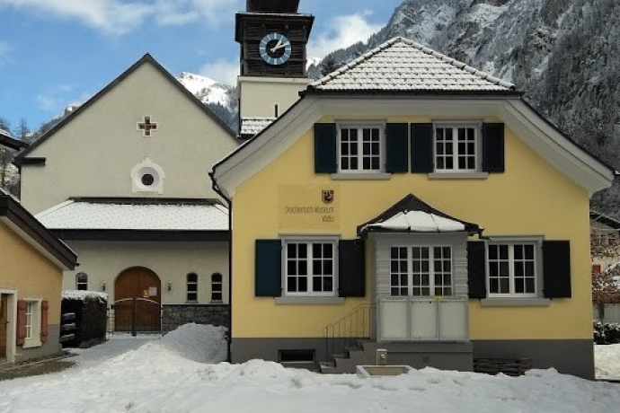
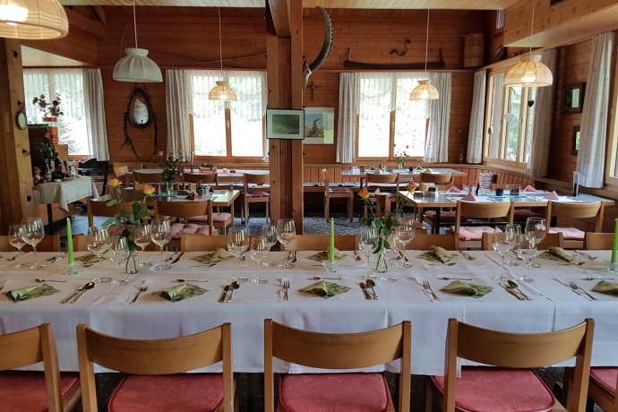
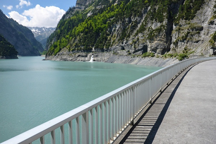
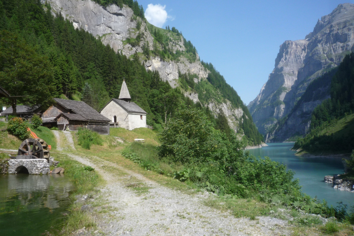
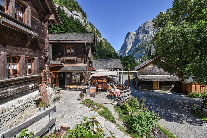
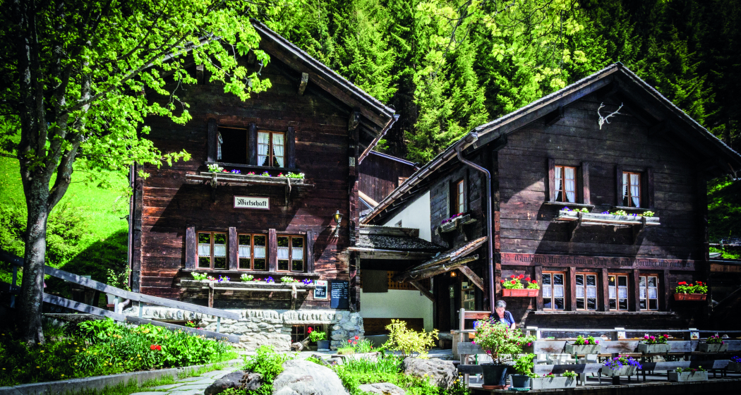
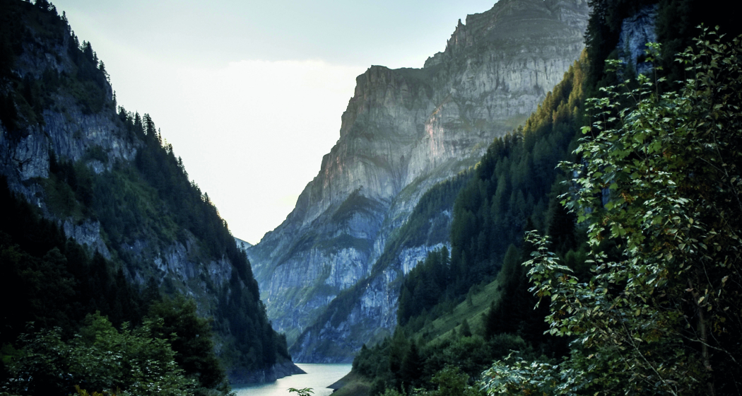
The excursion to the back of the Calfeisen Valley offers a variety of experiences on a dead-end road with the same outward and return route. The route by e-bike to the Walser village of Sankt Martin is an experience in itself thanks to the approach. Starting in the spa town of Bad Ragaz with its international feel, the route meanders past the impressive Tamina Bridge through the peaceful Tamina Valley. After the tranquil village of Vättis, the trail leads into the spectacular and rugged Calfeisental valley, past the closely enclosed Gigerwaldsee lake to the authentic Walser village of Sank Martin. And from the village, you can explore the wild and natural surroundings even further on foot or by mountain bike, and even set off on extensive mountain hikes. You can also simply indulge yourself at the Hotel & Restaurant Sankt Martin. A hot tub and sauna are available for overnight guests. E-bikes can also be hired on site at the hotel.
Hidden Gem
Take part in the E-Bike Beizen-Trophy: collect 12 stamps and receive a gift at the end of the season.
Safety Note
Please note the opening hours of the access road from Staussee Gigerwald.
Equipment
Normal bike equipment. Functional clothing is an advantage, as a long ascent is followed by an equally long descent. Lights for the bike are recommended (tunnel)
Directions
The exit to the Walser settlement of Sankt Martin is best started at the Tamina Therme in Bad Ragaz. After a short drive through the spa town, you reach Valenserstrasse, which winds its way uphill. No more cars are to be expected on this road, as it has been reserved for bikers, hikers and forestry workers since the Tamina bridge was built. After a somewhat steeper climb, you now have an excellent view of the Tamina bridge. It is recommended not to cross the bridge, as the roads on this side of the valley are quieter. Follow the road past the villages of Valens and Vasön. After Vasön, the road leads down to the Mapragg reservoir. But before you reach the dam wall, turn right off the main road at the first sharp bend. From here, a simple gravel road leads along the reservoir, away from the traffic. At the end of the lake, cross the Tamina over the footbridge. On the other side of the river bank, the trail follows the road towards Vättis. Before you reach the village, you switch back to quiet side roads that lead into the village. In the village, follow the signposts for "Calfeisental" and leave the village via this route. Thanks to the e-bike, you soon leave the narrow and harsh entrance to the valley behind you and reach the impressive dam wall of Lake Gigerwald after a good 300 meters in altitude. From the dam, cars are only allowed to drive into the wildly romantic Walser village on the hour until ten minutes before half past midnight. A bicycle light is recommended for this last section.
To return to the valley, we follow the road via Vättis to Pfäfers and from there to the starting point of Bad Ragaz.
Directions
Public Transport
Travel Information
Parking
Responsible for this content: Heidiland Tourism Ltd..

This website uses technology and content from the Outdooractive platform.
