Path of the Pioneers


Show all 8 images

Details
Description
Hidden Gem
The Path of the Pioneers is also suitable as an excursion for school classes.
Safety Note
Good shoes and sure-footedness are required.
Directions
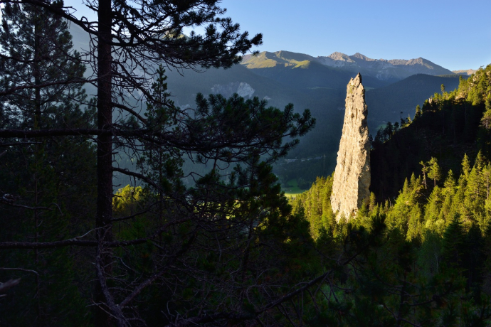
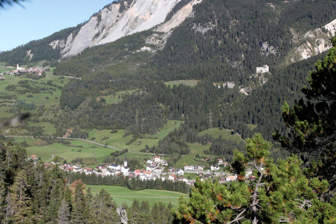
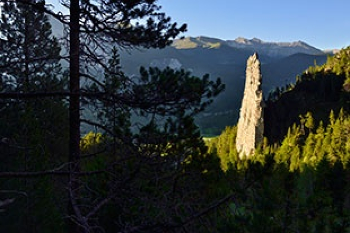
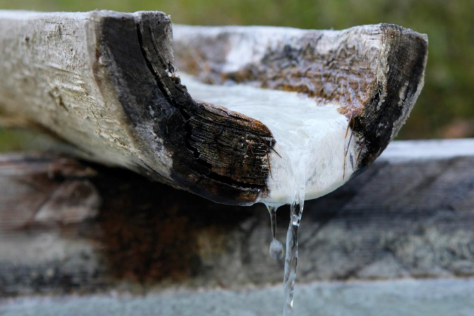
Surava (896m) – Rüfe Val Gronda – rest area (fireplace) – CrapFurò / geographical centre of Graubünden (1204m) – GelberStein – sulphur water spring – Surava.
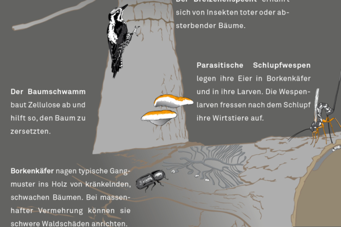
The trail is green signposted as local Route 754. License plates mark the 14 posts. Three information boards offer interesting information about the natural forest reserve, deadwood and capercaillie. There is a barbecue area and a playground along the hiking trail. In addition, we recommend the Parc Ela hiking map on a scale of 1: 50,000, available at the tourist offices in Parc Ela.
Directions
Public Transport
Responsible for this content: Verein Parc Ela.
This content has been translated automatically.

This website uses technology and content from the Outdooractive platform.
