Pizzo d`Era


Show all 7 images

The Lukmanier Pass has a lot to offer in terms of touring.
Details
Description
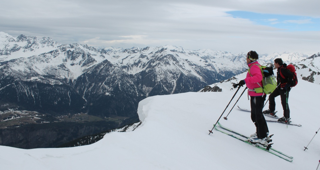
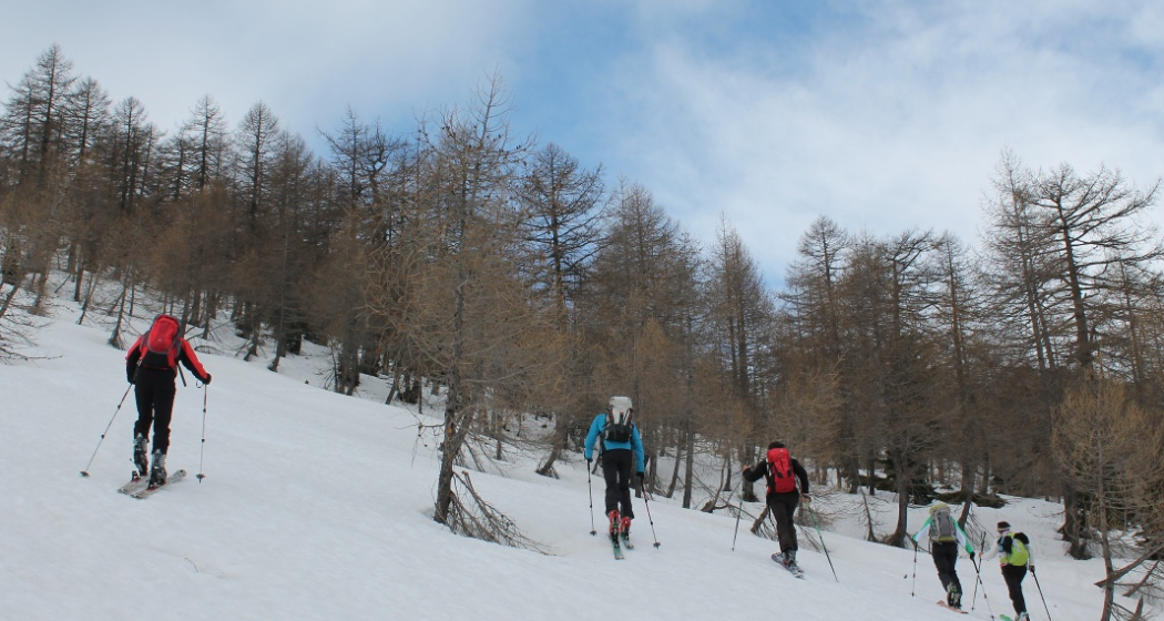
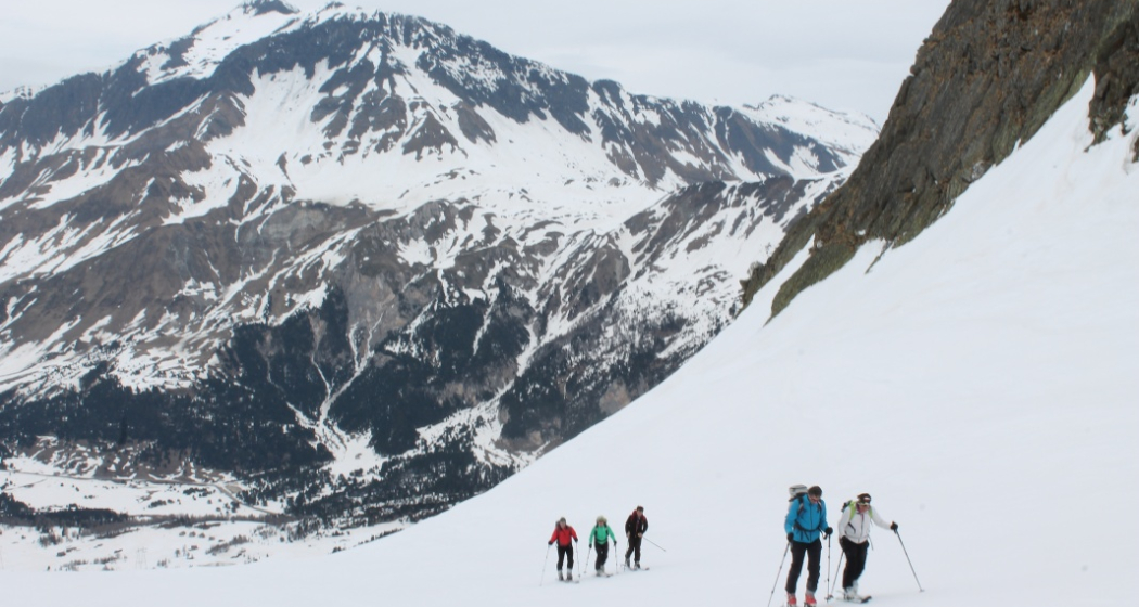
As is the way in spring, we carry our skis the first few hundred metres from the pass road in Acquacalda down to Pian Segno. At the first snowfields, we set off through sparse larch forests and climb at a leisurely pace, leaving plenty of room for conversation. We leave the Toroi di sotto on the left and immediately afterwards we're done chatting. We find ourselves on a steep upswing and mount the crampons. In the following hollow of Foppe dei Toroi we relax again and soon the snow edge at the end of the valley appears. Once at the top, we are first rewarded with an impressive view down into the spring-green Leventina. A fascinating contrast. It's almost easy peasy as we strive towards the summit over a snow-covered ridge interspersed with cornices. We are facing the Scopi, while a little further away we are greeted by the Rheinwaldhorn and Campo Tenca, the most striking peaks in the panorama.
The descent runs along the ascent track! Cheering is allowed!
Tip: As the Lukmanier Pass is not accessible by public transport in winter, an on-call bus service is available on request:
Mobile +41(0)79 150 66 66
Geheimtipp
Psst.... Don't tell anyone. Insider tip.
Sicherheitshinweis
Please note the winter opening hours of the Lukmanier Pass. In spring, the pass is closed during the day
Ausrüstung
Crushons (essentially)
Directions
From Aqcuacalda we descend to Pian Segno, we cross the stream and ascend towards Stabbio Vecchio. We reach a valley, Laraset, follow the hollow up to an altitude of 2100 meters. We overcome a short steep slope in a southerly direction and reach a valley, which we follow to its end. On the snow ridge at the end of the valley we keep left over the ridge to the summit.
Directions
Public Transport
Anreise Information
By car from Chur via Disentis to the Lukmanier Pass, Aqcuacalda.
Parking
limited parking along the street
Responsible for this content: Sedrun Disentis Tourism SA.
This content has been translated automatically.

This website uses technology and content from the Outdooractive platform.