WALSA-Weg

Closed
Simple
53 km
20:35 h
2700 mhd
2300 mhd
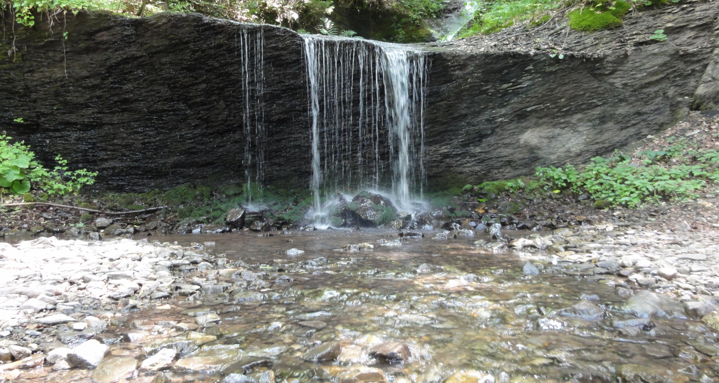
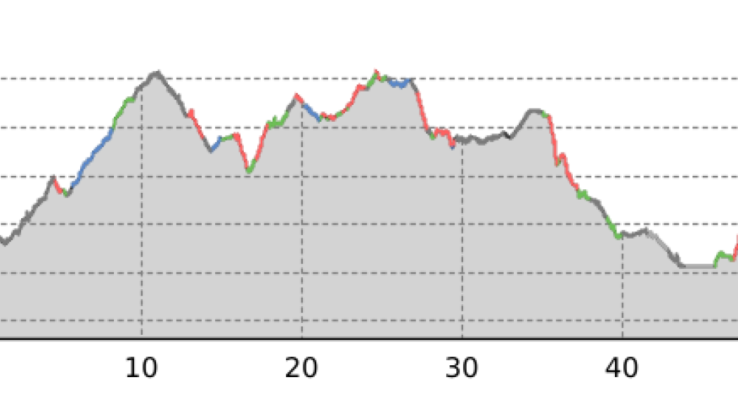
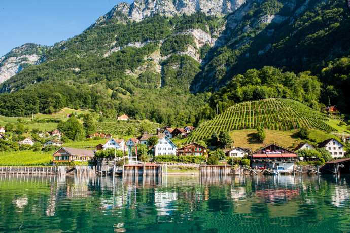
Splendid views of the ruggedness of the Hinterberg, protected moorland at Chapfensee, the sparse and arid Kleinberg, touristic Flumserberg, Mediterranean Quinten, power and peace in the hotspot of Amden.
Best Season
Jan
Feb
Mär
Apr
Mai
Jun
Jul
Aug
Sep
Okt
Nov
Dez
Start
Bad Ragaz
Destination
Amden
Coordinates
47.009750789946, 9.5051280774612
Details
Description
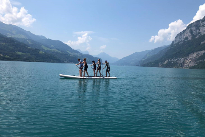
The Walsa-Weg (Walensee-Sarganserland-Trail) offers hikers the chance to get to know the many faces of Heidiland. At an average height of 1000 m, the route links the many high-level terraces of the the Flumserberg and the Amden Riviera. These afford unique views of eastern Switzerland’s mountain world, the Rhine Valley, Sarganserland and the deep-blue Walensee. Falknis, Alviergruppe, Gonzen and Churfirsten form an impressive rocky backdrop on the horizon.
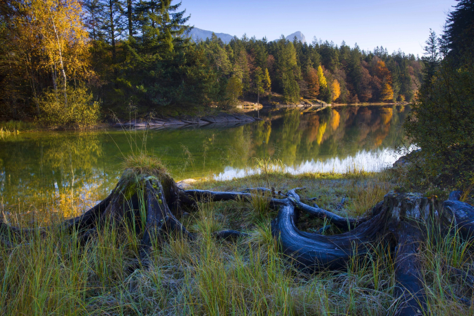
You experience the primal ruggedness of the Hinterberg on a mainly good network of trails. The beautiful, protected moorland at Chapfensee near Vermol stands in contrast to the bleak, aridity of Kleinberg. It’s a pleasure to hike through the sun-soaked fields of Flumserberg, flourishing in both an agricultural and touristic sense, then begins the descent to Walensee. After a boat trip to the opposite shore, you think you’re in Mediterranean Quinten in Ticino, before climbing to the last sunny terrace and the hotspot of Amden.
You experience the primal ruggedness of the Hinterberg on a mainly good network of trails. The beautiful, protected moorland at Chapfensee near Vermol stands in contrast to the bleak, aridity of Kleinberg. It’s a pleasure to hike through the sun-soaked fields of Flumserberg, flourishing in both an agricultural and touristic sense, then begins the descent to Walensee. After a boat trip to the opposite shore, you think you’re in Mediterranean Quinten in Ticino, before climbing to the last sunny terrace and the hotspot of Amden.
Directions
Stages
1 Bad Ragaz–Garschlu
2 Garschlu–Flumserberg
3 Flumserberg–Murg
4 Murg–Amden
1 Bad Ragaz–Garschlu
2 Garschlu–Flumserberg
3 Flumserberg–Murg
4 Murg–Amden
Responsible for this content: SwitzerlandMobility.
