From Lake Walen to the Castle Sargans

Show all 7 images
Details
Description
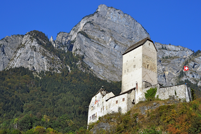
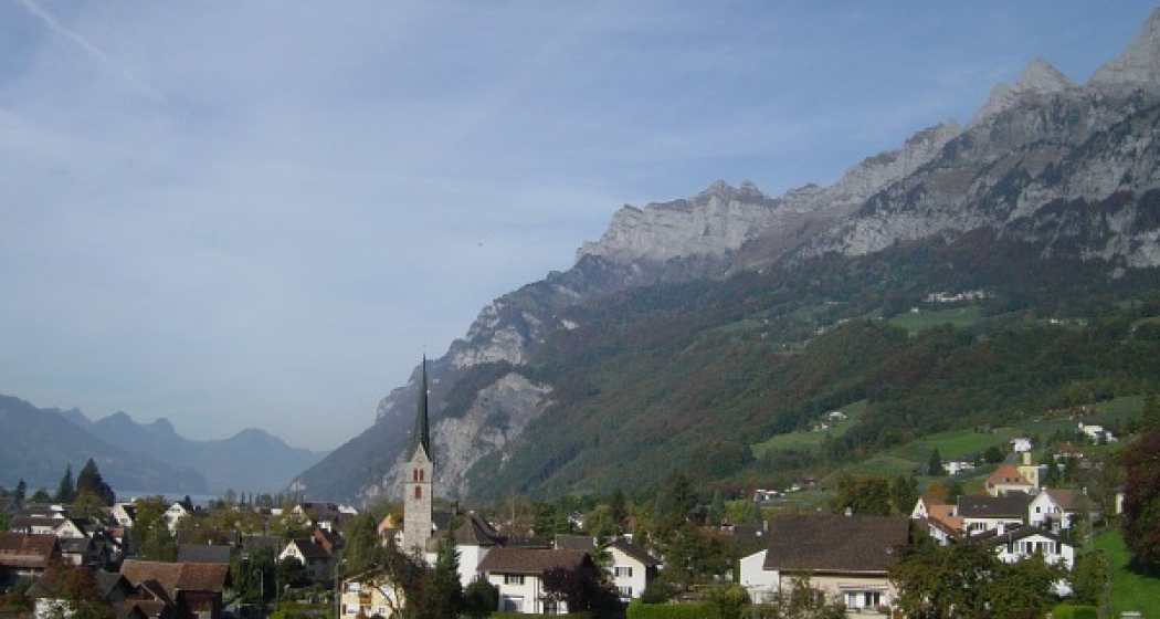
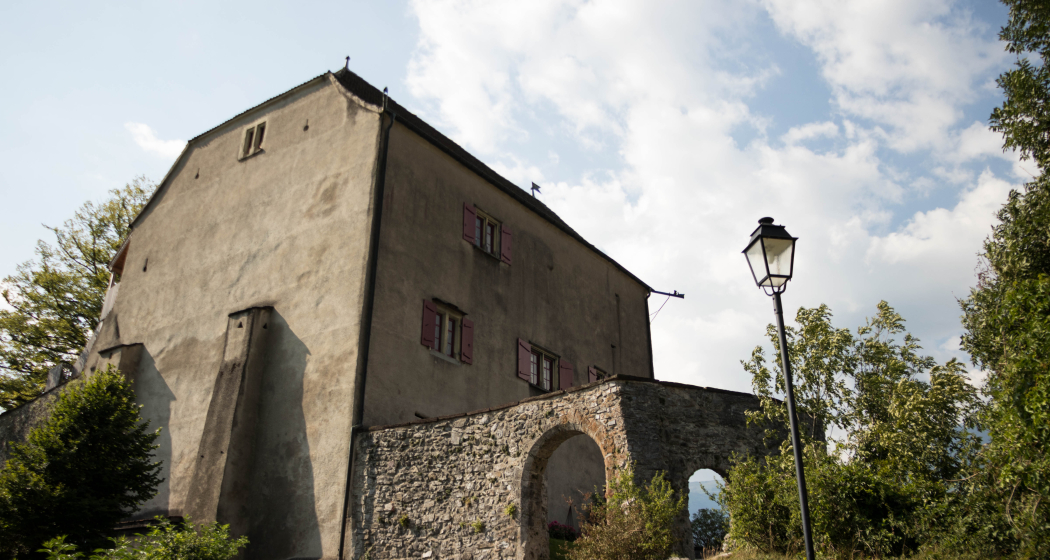
From the town hall, built in 1812, we climb past the church to the village dump. Again and again we take a look back at the beauty of the Churfirsten with the Walenstadtberg. After the bridge, we descend and walk along the dirt road to Tscherlach. At the mill we cross the Tscherler stream, climb to the left and reach Berschis via Brüsis - Gela, whose pointed church tower greets us from afar. Above it, on a rugged hill, stands the chapel of St. George, which probably originated from an early medieval fortified church. It is considered to be the oldest chapel in the Sarganserland. We walk along the stream above the village and reach the beech forest, where the path climbs steeply. To the left in the depths rushes the wild Berschner Bach. We follow the road along the edge of the forest, cross the Furggelswald forest and reach Calspert-Valaschga. Again and again we are happy about the magnificent view of the Guscha and the spa area of the Flumserberg. On a flat path it goes to Langwisen, then steeply down through the forest, over the Schreien stream, to Gapöscha and to Poli. We bypass the Hagerbach gravel trap and take a look at the summit of the Gamidauerspitze, the outermost outpost of the Black Horns. Before March we reach the valley floor. We follow the path to Reschu near Heiligkreuz, a district of Mels. Above the vineyards at the Heiligkreuzerhalde, where the famous Melser grows, we continue our hike into the forest of Talid. In front of us, the Käsbissenturm of the church and the castle of Sargans greet us.
Hidden Gem
Safety Note
Equipment
For this tour a light equipment is usually sufficient, but certain path passages can be wet and slippery after rainfall.
In addition, it is recommended to take enough water and a small hiking provisions with you.
Directions
Directions
Public Transport
Travel Information
Parking
Responsible for this content: Graubünden Ferien.
This content has been translated automatically.


